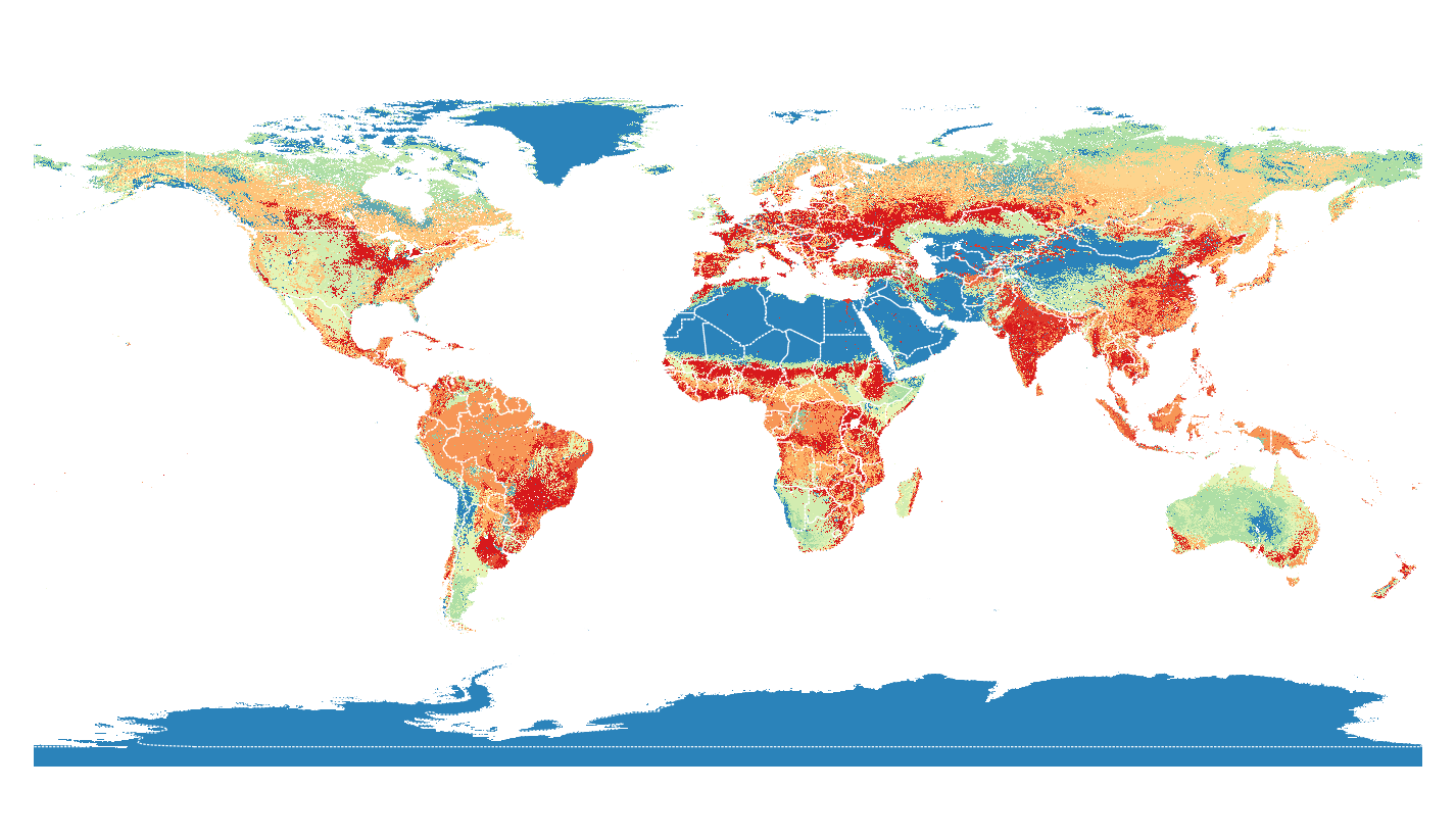
As I assumed, the file contains all necessary information, but in metadata tags that are not usual.
You can run gdalinfo in the OSGEO4W shell or a Linux terminal on the file to get the metadata:
crs_wkt=GEOGCS["WGS 84",

geospatial_lat_max=90.0
geospatial_lat_min=-89.99999
geospatial_lon_max=179.99998
geospatial_lon_min=-180.0

Subdatasets:
 SUBDATASET_1_NAME=HDF5:"esacci.nc"://algorithmic_confidence_level
 SUBDATASET_1_DESC=[64800x129600] //algorithmic_confidence_level (8-bit character)
 SUBDATASET_2_NAME=HDF5:"esacci.nc"://current_pixel_state
 SUBDATASET_2_DESC=[64800x129600] //current_pixel_state (8-bit character)
 SUBDATASET_3_NAME=HDF5:"esacci.nc"://lccs_class
 SUBDATASET_3_DESC=[64800x129600] //lccs_class (8-bit character)
 SUBDATASET_4_NAME=HDF5:"esacci.nc"://observation_count
 SUBDATASET_4_DESC=[64800x129600] //observation_count (16-bit integer)
 SUBDATASET_5_NAME=HDF5:"esacci.nc"://processed_flag
 SUBDATASET_5_DESC=[64800x129600] //processed_flag (8-bit character)
With that information, you can extract the land classification in the OSGEO4W shell or a Linux terminal with:
gdal_translate -a_ullr -180 90 180 -90 -a_srs epsg:4326 HDF5:"esacci.nc"://lccs_class esacci_03.tif
which loads fine in QGIS, compared to Natural Earth boundaries:


