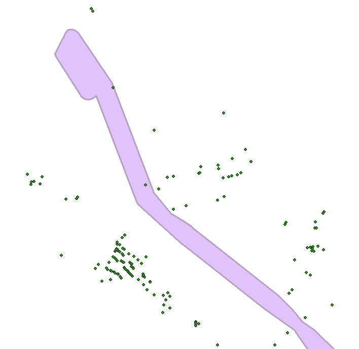
I have a very large data set of points representing residential properties and i need to calculate the closest distance to the boundary of one polygon from each point. Preferably a positive value for those outside the polygon and negative for those within. (Example below.)
I have been looking through various other questions similar to this but most users either have access to QGIS or the Proximity toolset within Arc. I have access to neither of these but am hoping there is an alternative way of calculating this distance? I really do not want to sit and measure out the distance from each point manually, there are over 700 points!

