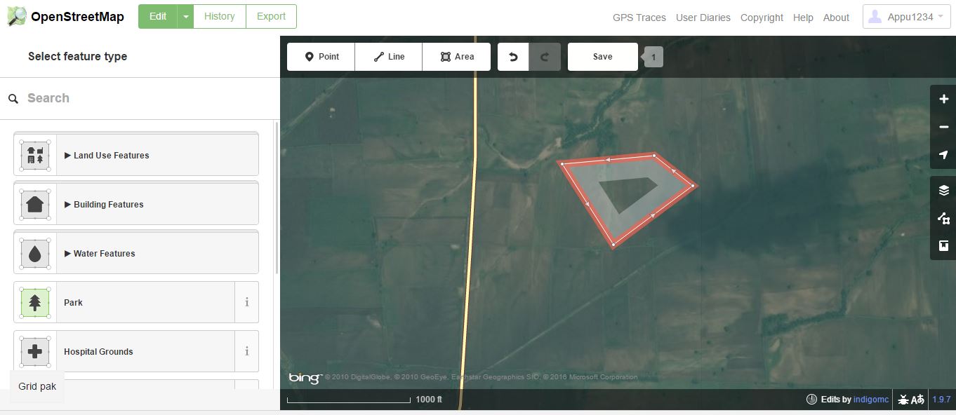
My objective is to make a tool to calculate the area of any user defined polygon on the map using a python code. I tried doing this with OpenStreetMap.
My approach is: Open a map and select points on the map which will be the vertices of the polygon. Export the lat long of these vertices into a python code which will calculate the area of the polygon. Integrate this python code into the map so that the area which is the output of the python code is displayed on the map. Is this approach right?
The edit option allows us to draw polygons.

But when I try exporting this, it leaves the page. How do I get an xml file (or preferably the coordinates) of only the polygon that is marked?
I have marked a polygon in umap. How do I export the coordinates?

