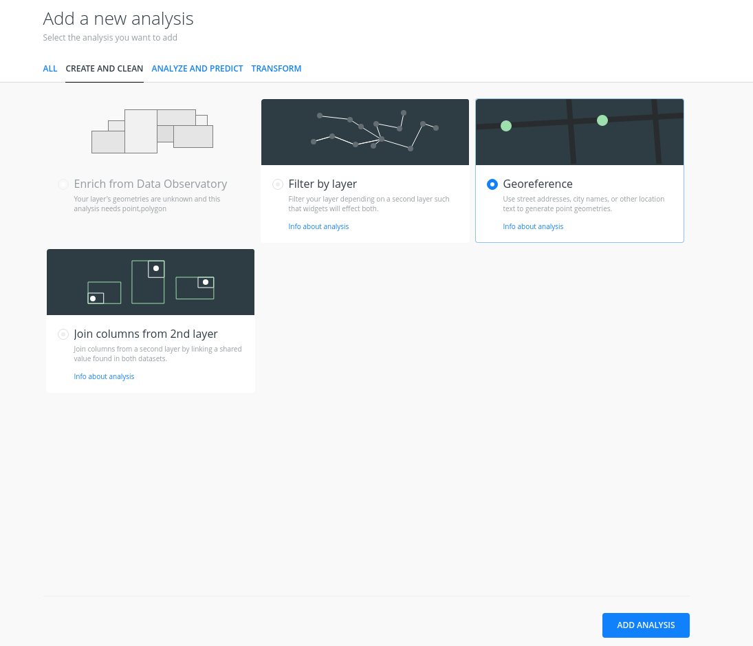
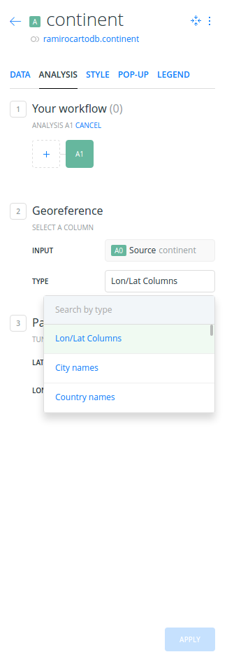
Is there any way to do Geocoding with CARTO BUILDER?
1st file: markets.csv with my markets and the coordinates in separate x and y columns; I can upload the .csv but of course I do not have a useful geometry. 2nd file: spreadsheet with addresses (street, city, country, ...)
Both cases were easily to be done with CARTO EDITOR, but I can't find the options in CARTO BUILDER anymore. Is is just a paid service or have I missed something?


