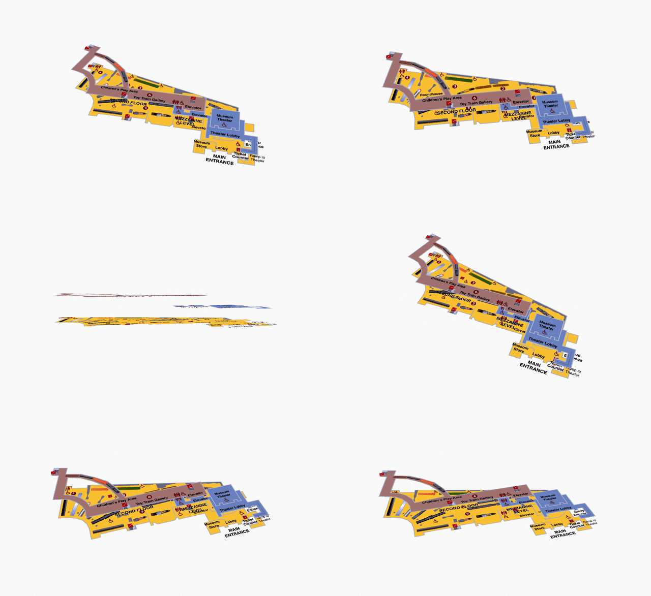
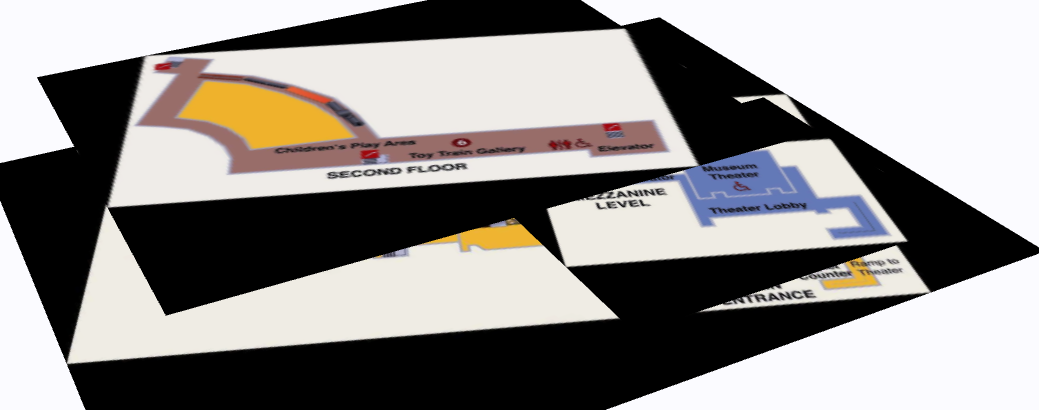
I have three geo-referenced images of a museum layout that I have been able to offset by "x" number of meters in ArcScene and ArcGIS Pro. I want to publish the three images online and have it look like below: 
I am not able to find a way to add offset to the layers in ArcGIS Online Scenes. I have tried to exported directly to a Exporting ArcScene Documents to 3D Web Scenes and viewed in Esri CityEngine Web Viewer. However the image quality is very low and transparent image backgrounds are not allowed. 
Unfortunately this does not allow for easy navigation and will not work for us. I want to do this in ArcGIS Online if possible but I am open to other solutions that would allow other GIS features to be added to the images.
