1

How to export the arc-node topology table in qgis?

I will illustrate how that would be the idea.

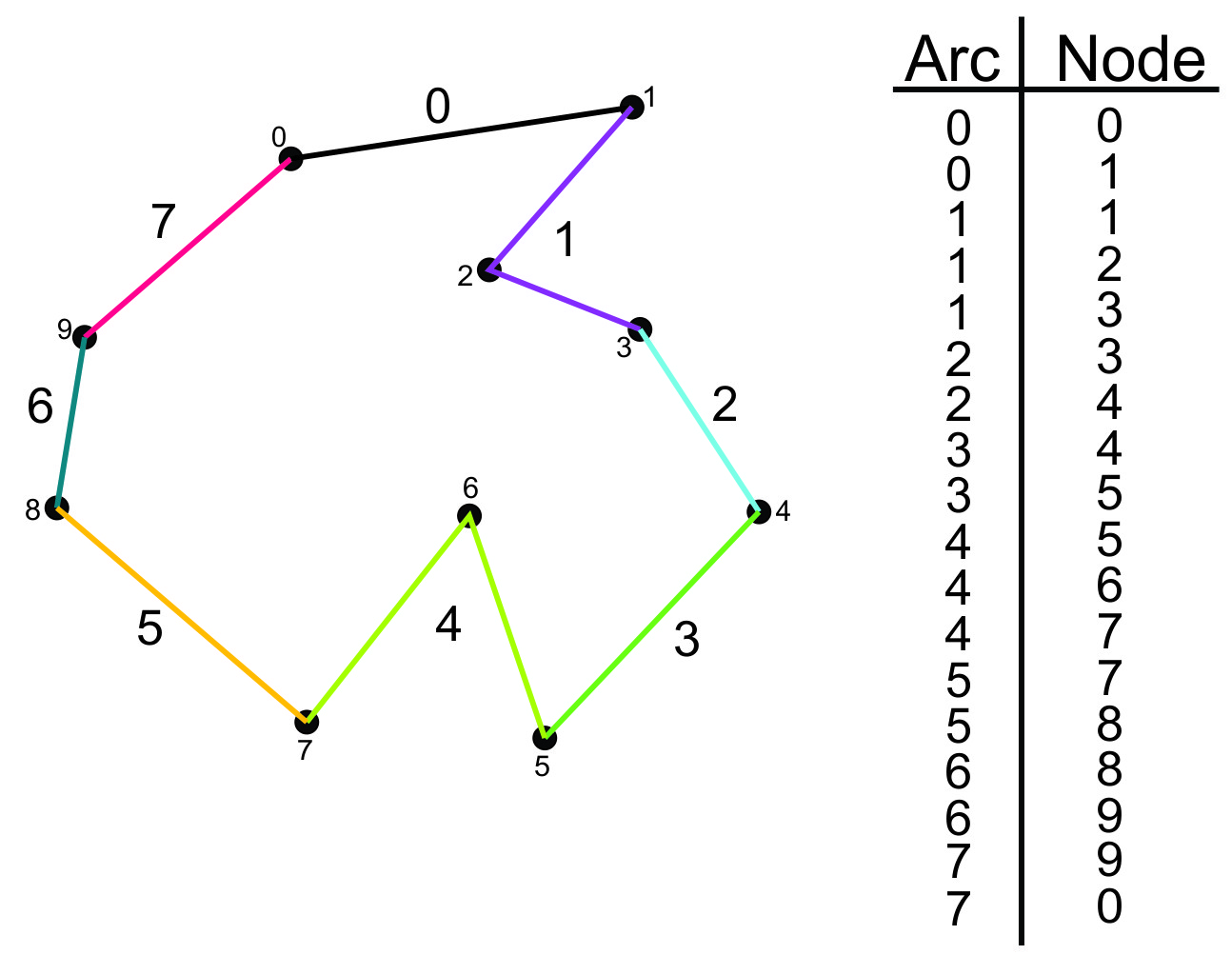
The figure below shows a polygon composed of arcs and nodes. Each color represents an arc. Each arc has a number, just like the nodes. To the right of the figure I present a table that has the arcs and also all the nodes that make up the arcs. Note that the numbers of the nodes are unique. That is, no node has the same number as the other. This is very important to me.

The tool Convert polygon / line vertices to points located in SAGA, in fact, stores the arcs and nodes. However the numbers of the nodes are not unique. And I need the numbers of nodes to be unique. Any suggestions / ideas?

enter image description here

2
  • Saga GIS, installed with QGIS, has Polygons to Edges and Nodes.
    – klewis
    Commented Jan 26, 2017 at 21:29
  • I edited the question. Commented Jan 30, 2017 at 10:39

1 Answer 1

2

You can use the tool Convert polygon/line vertices to points located under SAGA -> Shape - Polygons tools. Here is a sample line feature, where I am in editing mode to see their vertices, as you can see below:

enter image description here

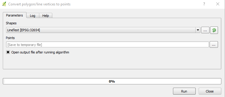
Here is the Convert polygon/line vertices to points tool:

enter image description here

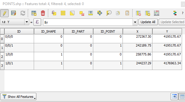
The output is as follows:

enter image description here

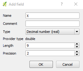
If you want to add X and Y coordinate, you need to add two fields for both X and Y of type Real, as follows:

enter image description here

Then add the following expression for Fields X and Y, respectively:

$x and $y 

enter image description here

1
  • I edited the question. Commented Jan 30, 2017 at 10:39

Your Answer

By clicking “Post Your Answer”, you agree to our terms of service and acknowledge you have read our privacy policy.

Not the answer you're looking for? Browse other questions tagged or ask your own question.