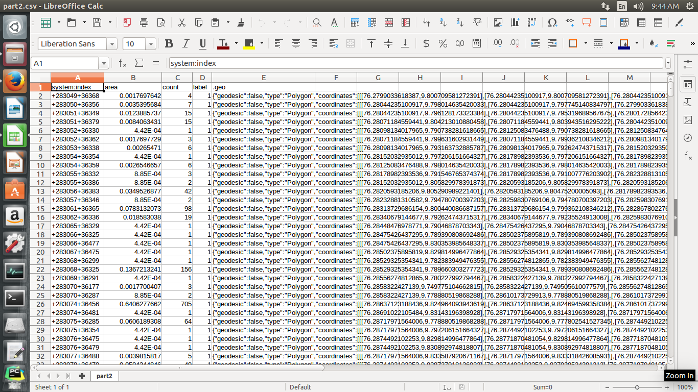
A CSV file contains the coordinates of all polygons which refers a particular crop in a specific time period. Eg:
How I can load this csv into PostGIS.. I tried with CREATE TABLE But I don't know which variable is used to represent geo column...ie, for representing spatial coordinates.


WKTformat. Then, PostGIS includes functions to transform WKT to its geometry format. LibreOffice Calc should enable you to do this rather than writting a script...