I am using QGIS 2.18.3 with a base map named Natural_Earth_quick_start_for_QGIS
I use Australian Albers EPSG: 3577
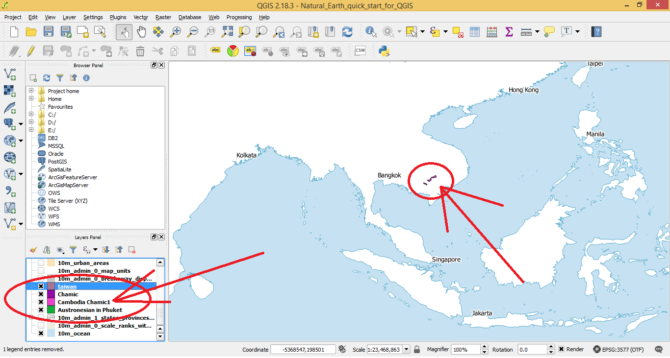
When creating a bunch of polygons on my base map, my QGIS suddenly stopped working. So I had to re-start QGIS and added vector layers that I was working on again. After retarting and changing the default coordinate to Australian Albers EPSG: 3577, almost all of the layers that I have just created previously do not show up, except for the layer named Cambodia Chamic1.
What seems to be the issue here? how to make them show up.
This is a list of the files associated with my created polygons 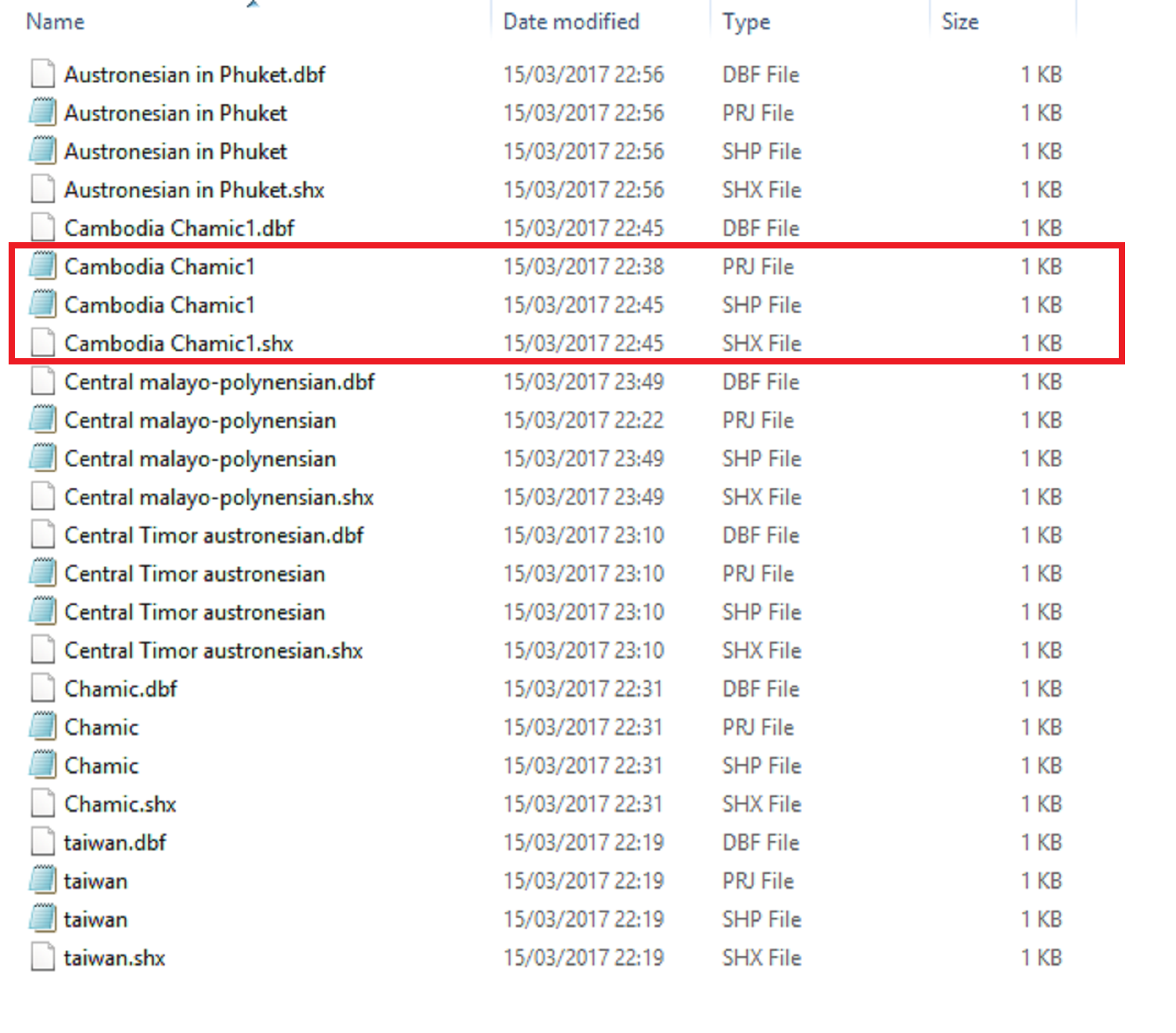
========================================================================= =========================================================================
@ Joseph
I did check the Coordinate reference system of my layers at Properties > General > Coordinate reference system. All of my layers have CRS as WGS 84, EPSG: 4326 which is not the same as my chosen projection Australian Albers EPSG: 3577.
But the layer named Cambodia Chamic1 still shows up on my base map, whereas other layers having the same setup do not show up.
When I change the Coordinate reference system of all of my layers from WGS 84, EPSG: 4326 to Australian Albers EPSG: 3577, the layers that have not shown up still do not show up
and the only layer that's showing up (Cambodia Chamic1) suddenly disappears.
I don't know what's going on right now?

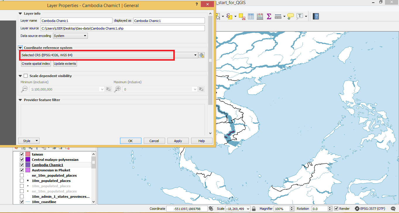
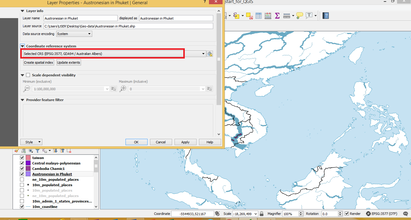
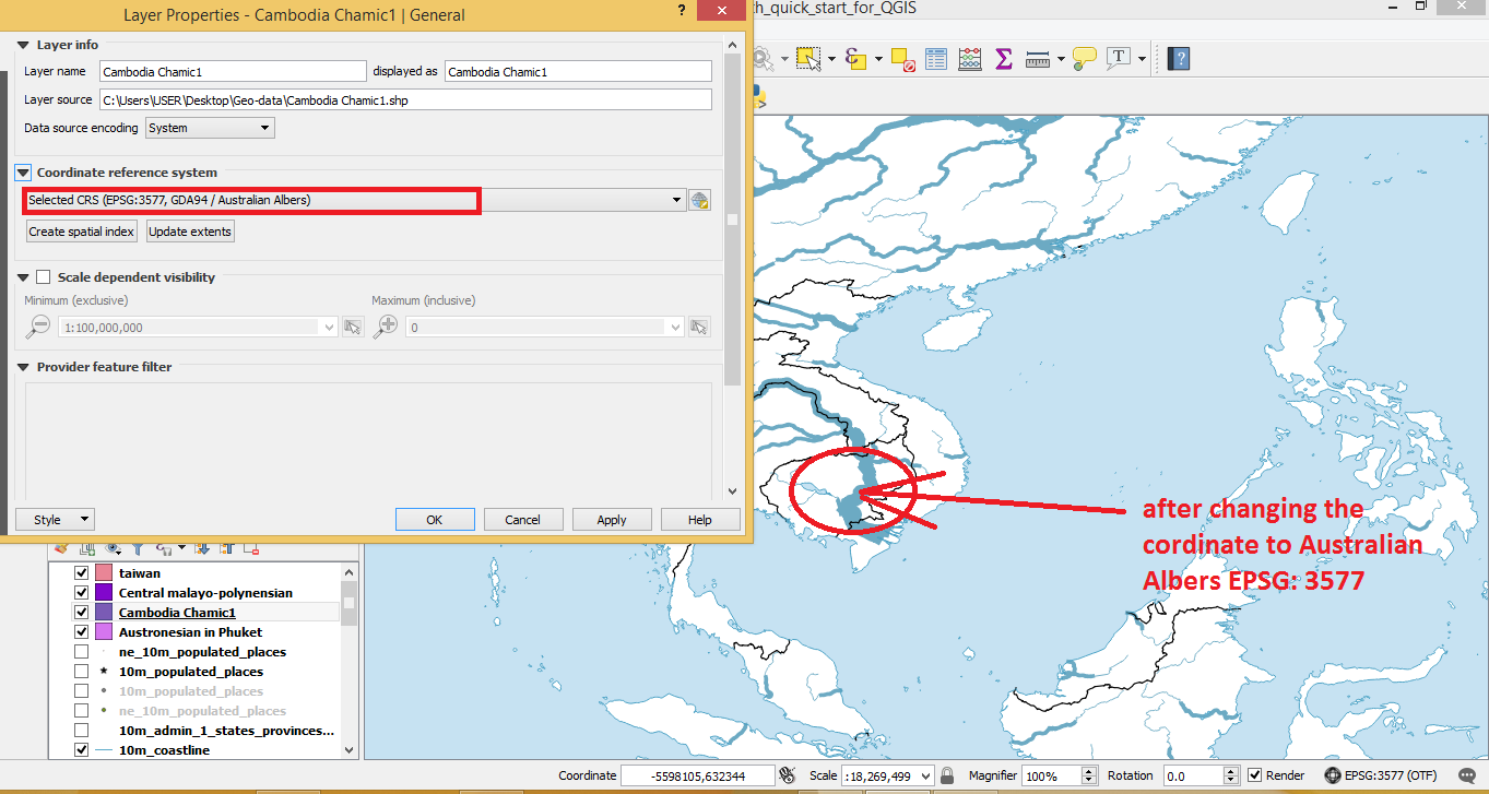
Properties > General > Coordinate reference system.