1

My GIS skills got a little rusty and I am new in using QGIS (I have learned on ARC).

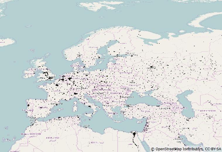
I have created a map with population estimates and points. I created a buffer around the points of 75km and calculated the population within the buffers (There are overlaps that are not elegant, as they are multiple-counted but thats not my priority). I basically followed this introduction: Calculate number of people within 50 km of a point

Is there a way to calculate potential areas (in this case within europe), where my buffers miss out on largely populated areas?

Basically I would like to receive 75 km buffers located at those areas.

2
  • What form are the population estimates in? Is that a raster?
    – csk
    Commented Aug 11, 2017 at 16:21
  • It is a vector with populatiom estimates Commented Aug 14, 2017 at 19:49

1 Answer 1

1

You can use the Natural Earth library data. Download the two layers of populated places in 1:110m scale, in order if having as much data as possible for your project.

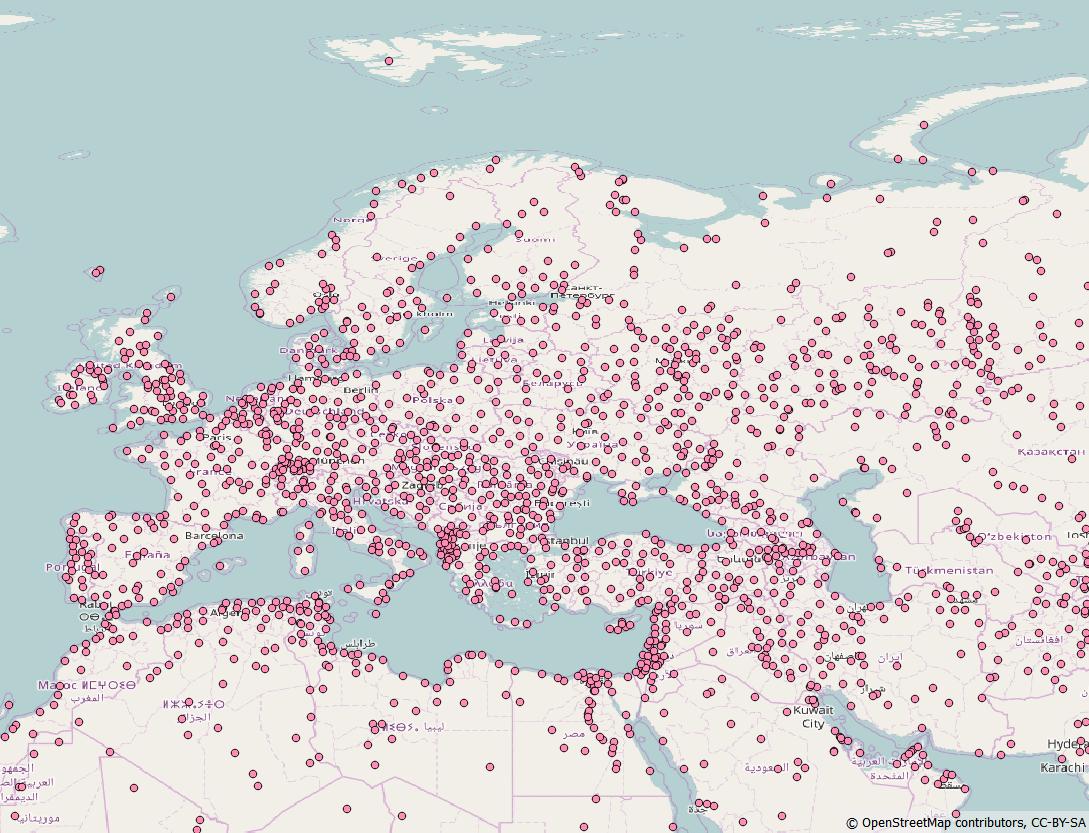
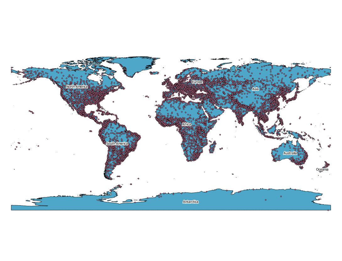
The "populated places" layer will give you a polygon layer with the largest populated area, but it neglect the smallest places enter image description here The "simple" map will give you a points for that marks the populated areas enter image description here It is important to note that this layer are for the all world and just for Europe enter image description here In order of working just on Europe you need a polygon layer of Europe, so you will be able to define and work only on your area of interest. You can find this kind of layer in the GeoTECH Data Library.

1
  • Great!, can you mark it as anserd? Commented Aug 14, 2017 at 19:38

Your Answer

By clicking “Post Your Answer”, you agree to our terms of service and acknowledge you have read our privacy policy.

Not the answer you're looking for? Browse other questions tagged or ask your own question.