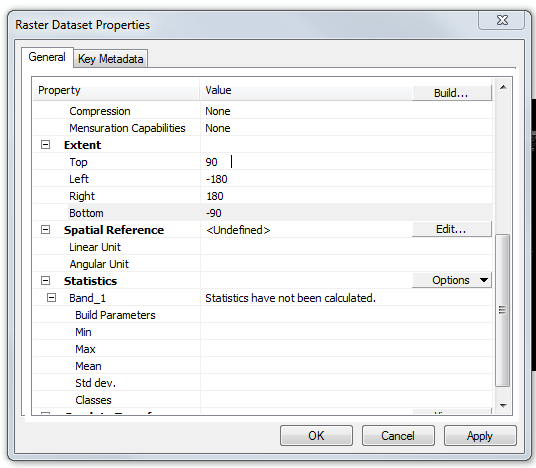
I have an ASCII file (.asc format) with 1/12 degree grid-squares of the whole world (see http://www.fao.org/soils-portal/soil-survey/soil-maps-and-databases/harmonized-world-soil-database-v12/en/), which I want to project onto WGS_1984_UTM_Zone_43S in order to determine some areas of land cover within some polygons in this projection.
ncols         4320
nrows         2160
xllcorner     -180
yllcorner     -90
cellsize      0.0833333333333333
row 1
I'm using ArcGIS at the moment, but when I put the ASCII straight into ArcMap, it incorrectly interprets the units as metres, not degrees (so the world map is only 360m from side to side!). This I put down to having no defined spatial reference
How should I set the spatial reference in order to get the appropriate scale?
