I encountered a very odd result while reprojecting simplefeatures with Geotools: I have data of Vienna (Austria) from Open Street Maps in SRID:4326 (WGS84) in a shapefile. I load the data into a DefaultFeatureCollection. I then perform a reprojection into SRID 3035 by loading the Data from the DeafultFeatureCollection into a ReprojectingFeatureCollection:
ReprojectingFeatureCollection reprojFeatures = new ReprojectingFeatureCollection(wienfeatures,CRS.decode("EPSG:4326"),CRS.decode("EPSG:3035"));
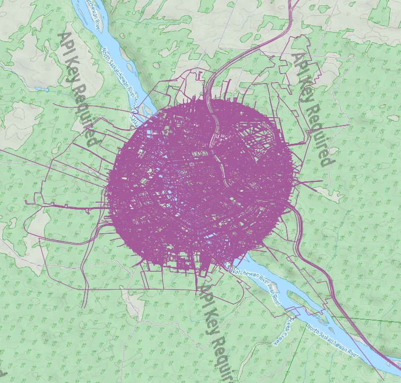
I was very suprised to find that the resulting geodata was now located in North America, after reprojection:
I tried to maintain the SRID in order to make sure no failure was created while exporting the shape:
ReprojectingFeatureCollection(wienfeatures,CRS.decode("EPSG:4326"),CRS.decode("EPSG:4326"));
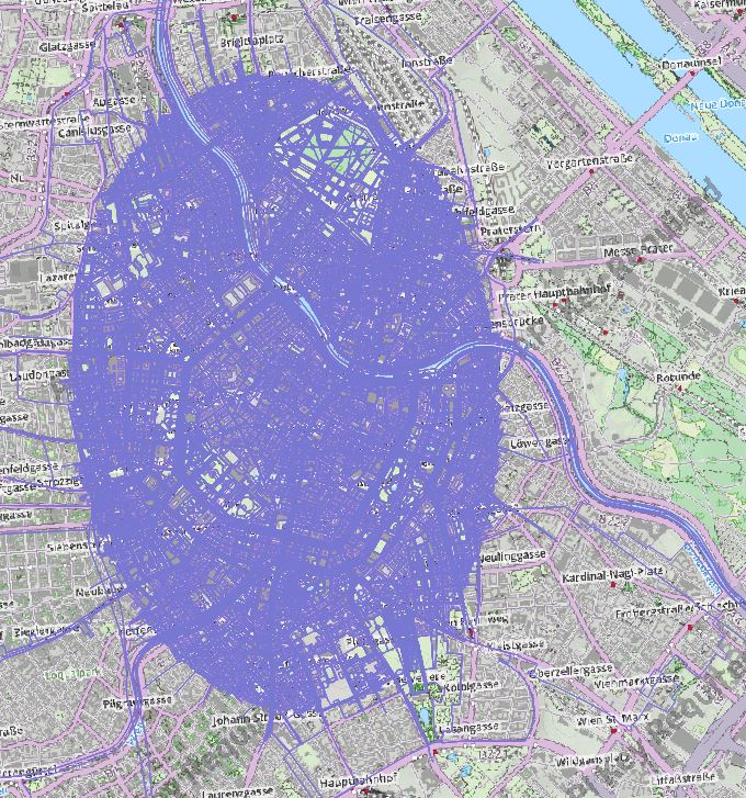
The resulting shape is identical to the input, as expected:
I finally tried to transform the features in a own function which takes the SRID and the SimpleFeatureCollection as an input:
public static SimpleFeatureCollection transform(Integer targetSRID, SimpleFeatureCollection source) throws NoSuchAuthorityCodeException, FactoryException, MismatchedDimensionException, TransformException
    {
        SimpleFeatureType schema = source.getSchema();

        CoordinateReferenceSystem dataCRS   = schema.getCoordinateReferenceSystem();
        CoordinateReferenceSystem targetCRS = CRS.decode("EPSG:"+targetSRID.toString());
        boolean lenient         = false; // allow for some error due to different datums
        MathTransform transform = CRS.findMathTransform(dataCRS, targetCRS, lenient);

        //Create new featuretype
        SimpleFeatureType newfeatureType = SimpleFeatureTypeBuilder.retype(schema, targetCRS);
        // create a builder for it...
        SimpleFeatureBuilder featurebuilder = new SimpleFeatureBuilder(newfeatureType);

        SimpleFeatureIterator featiter = source.features();
        DefaultFeatureCollection projcollection = new DefaultFeatureCollection();

        while(featiter.hasNext())
        {
            SimpleFeature feature               = featiter.next();
            Geometry geometry                   = (Geometry) feature.getDefaultGeometry();
            Geometry geometry2                  = JTS.transform(geometry, transform);


            featurebuilder.addAll(feature.getAttributes());
            SimpleFeature projfeature = featurebuilder.buildFeature(null);
            projfeature.setDefaultGeometry(geometry2);

            //add SimpleFeature to final collection...
            projcollection.add(projfeature);
        }
        featiter.close();
        return projcollection;
    }
However, this gave me exactly the same erroneous results like in the beginning. What is the problem here? Could it be that Geotools has an issue transforming??
P.S.: I tried to project my input data with QGIS... there were no problems...


