2

I am using QGIS for analysis of aerial images.

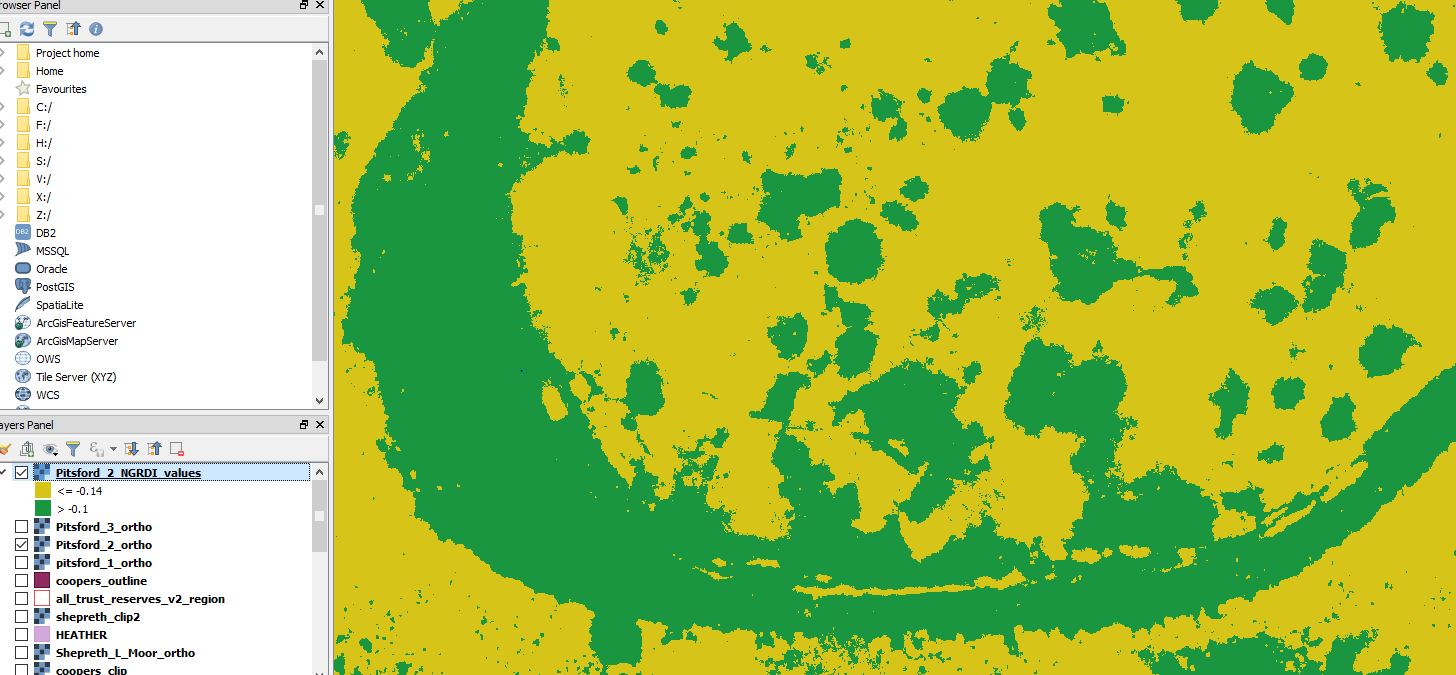
I have used the properties>style menu to create colour-banding for my raster map layer. This created 2 colour bands - but I want to convert these to seperate vectors.

Is it possible to do this - and do I require a plugin?

See below for screen grab:

qgis vector raster conversion

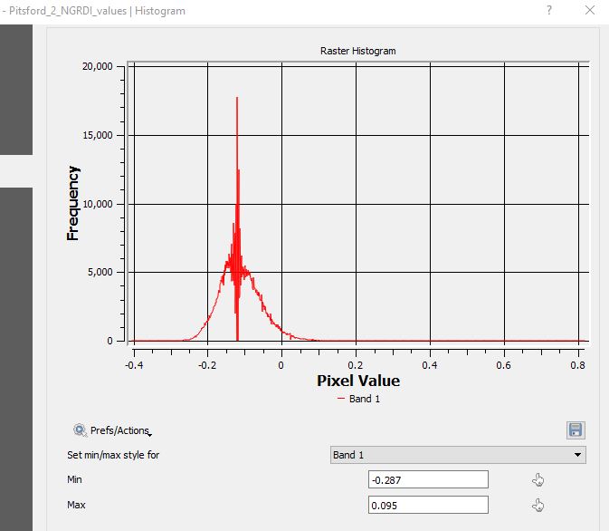
histogram

code

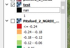
legend

1
  • Nope,yo need reclassify your raster using the raster calculator ans export the results using raster to vector for create polygons using only your classification.
    – Fran Raga
    Commented Nov 20, 2017 at 15:35

1 Answer 1

3

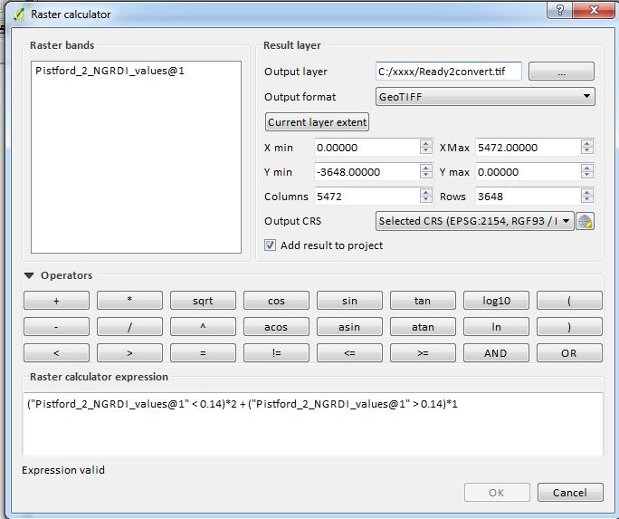
In your case, reclassify your raster with the formula like below in the Raster Calculator :

("Pistford_2_NGRDI_values@1" <= 0.14)*2 + ("Pistford_2_NGRDI_values@1" > 0.14)*1

It should look like below :

raster calculator

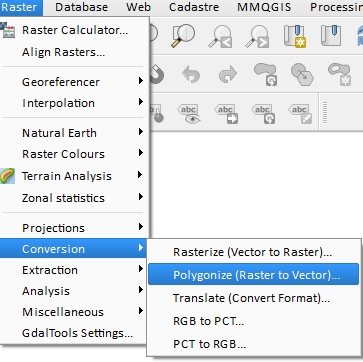
  • Then you can convert your integer raster to vector polygon :

Polygonize

7
  • Thanks for the help! I have no programming knowledge - is there a straightforward expression for picking out everything that has a wavelength <-0.14? This is shown as yellow on the image.
    – Josh
    Commented Nov 20, 2017 at 15:51
  • Basically its: >0.14 = 1 and <0.14 = 2 - but I don't know the format to use. Thanks again
    – Josh
    Commented Nov 20, 2017 at 16:12
  • What about values = 0.14 ? I suppose it's <= 0.14 from your printscreen. For your case, I updated my answer with more info
    – gisnside
    Commented Nov 20, 2017 at 16:22
  • Ps : the band is specified by @1 or @2. Make sure your have the right band in the formula.
    – gisnside
    Commented Nov 20, 2017 at 16:28
  • Brilliant - thaniks for all your help - I'll have a go today and report back
    – Josh
    Commented Nov 22, 2017 at 9:10

Your Answer

By clicking “Post Your Answer”, you agree to our terms of service and acknowledge you have read our privacy policy.

Not the answer you're looking for? Browse other questions tagged or ask your own question.