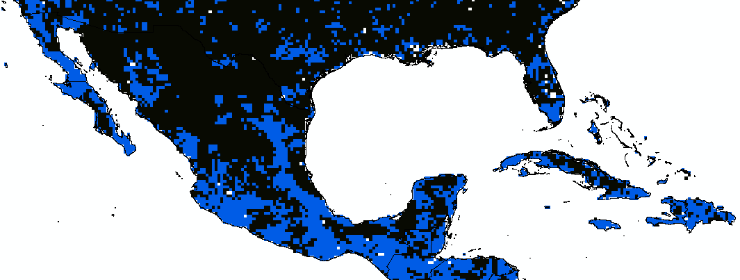
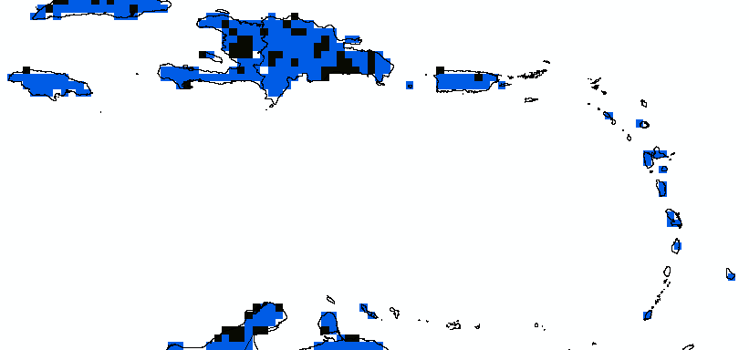
I am trying to calculate the area that each pixel in the raster has, in order to know the total area per country. This area refers to those pixels equal to 1 which refers to where protected areas in the world should be. According to the authors, they constructed this raster with a resolution of 20km at the equator decreasing it towards the poles. The raster is in GCS_WGS_1984.
I have tried raster statistics with a shapefile of all the countries in the world. I have now the count of pixels equal to 1 and 0 but I do not have a resolution to multiply with.
It can be found here: https://drive.google.com/drive/folders/1jmqbUj95iYCH_jTfoKfi17-J-rJAgq1f?usp=sharing


