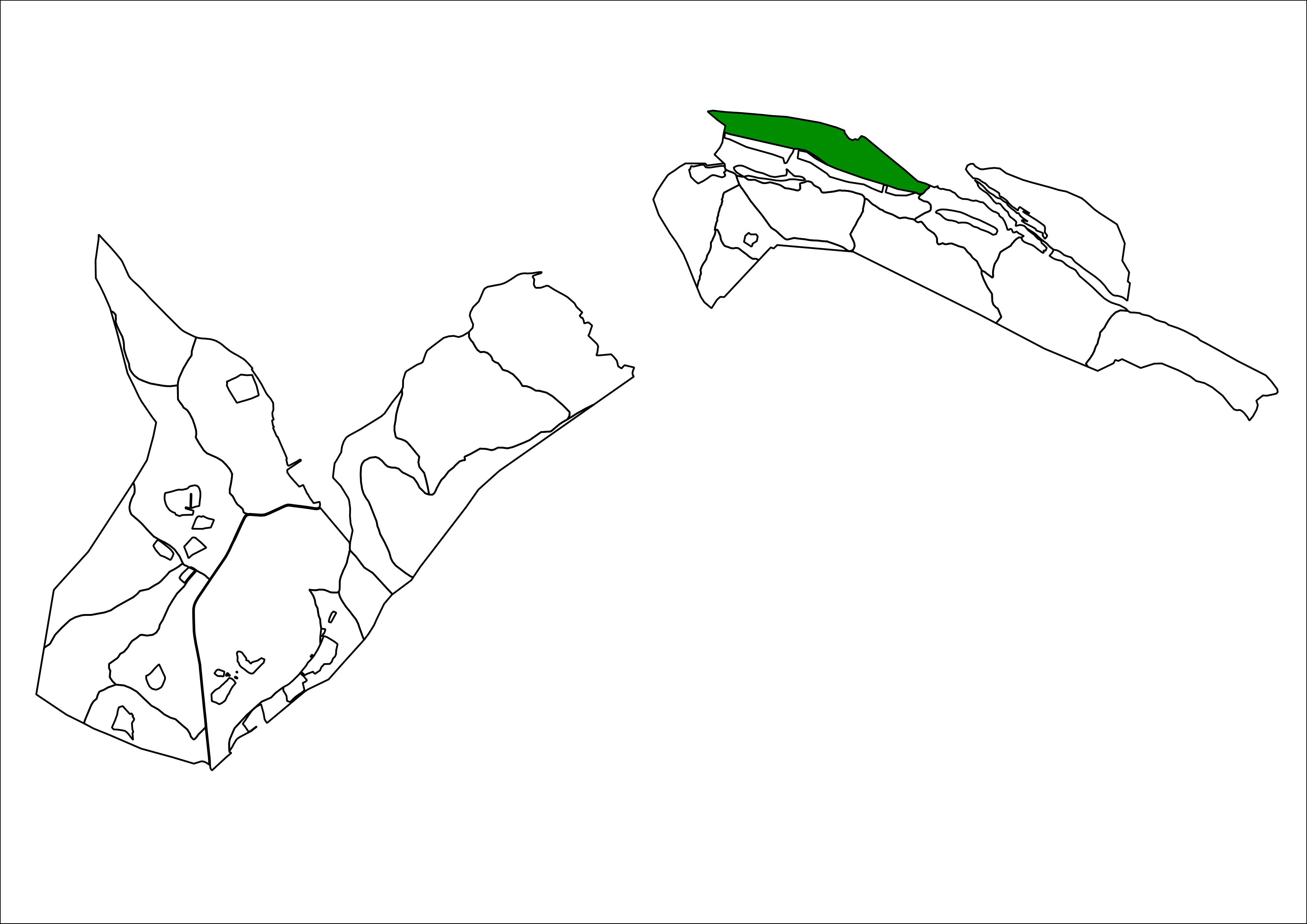
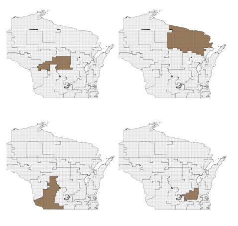
I am trying to make an atlas of a terrain that we divide in diferent plots. I would like to have in each map of the atlas each plot highlighted, but seeing allways the complete map, as you can see in this image.
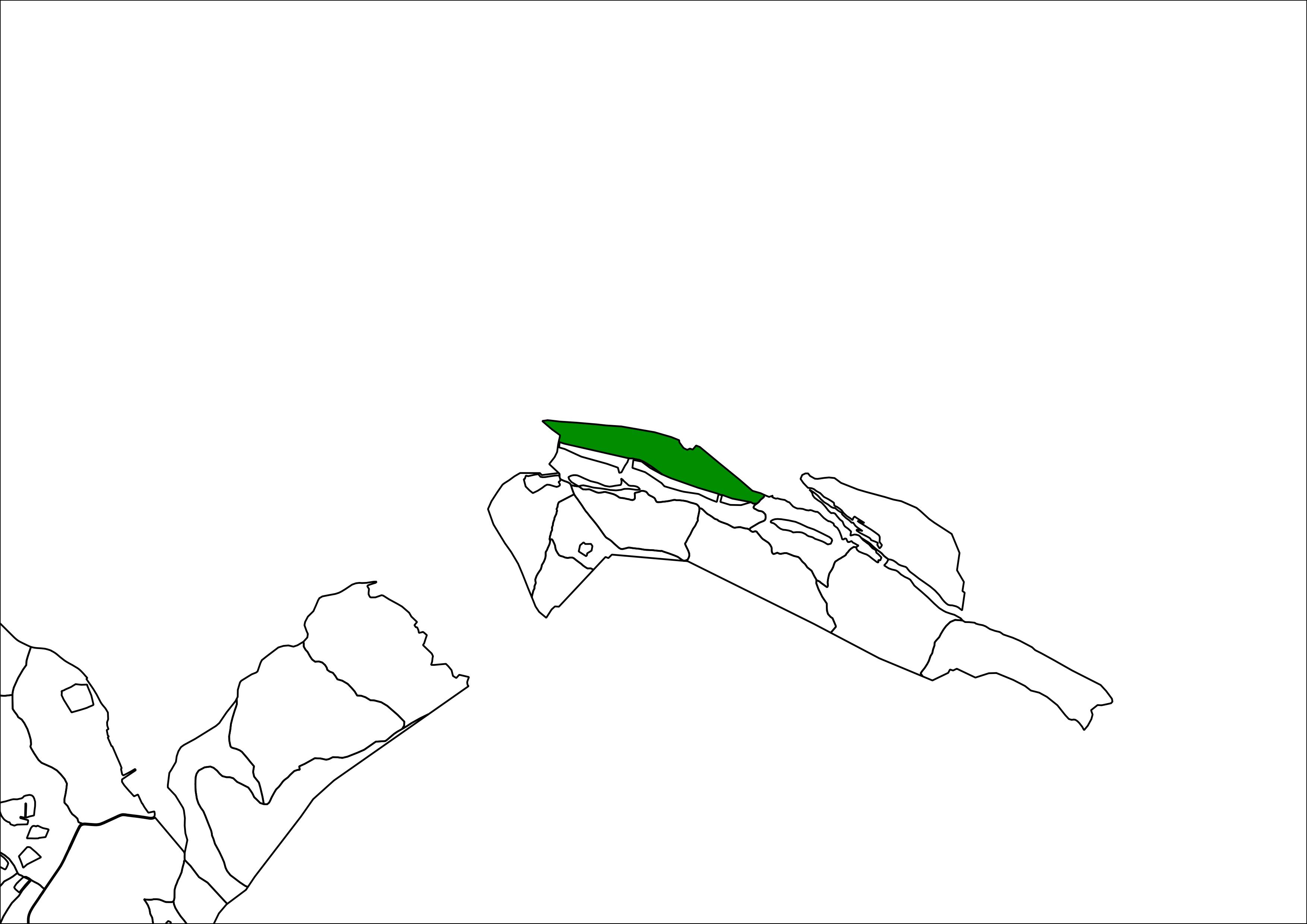
The problem when I generate the atlas is that it automatically moves the plots to the center of the image and I lose parts of the terrain, as in this image:
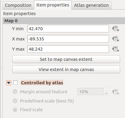
I know I can fix the scale, but I would like to fix the situation of the map for all the atlas.


