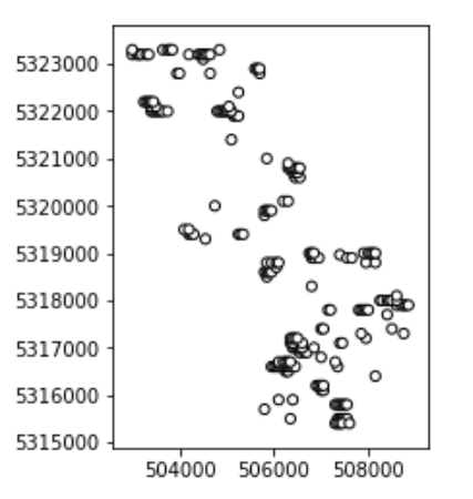
I am trying to buffer points which are quite close together, and then dissolve the overlapping buffer polygons into larger polygons. After doing the buffer is where I have the issue. I have tried using dissolve('geometry') but that gives this error.
KeyError: 'geometry'
I think the proper way to do this is using unary_union but my output is a multipolygon and I cant use it.
gdf2 = gpd.read_file(SELECT)
gdf2b = gdf2.buffer(gridDist)
gdfu = gdf2b.unary_union
gdfu.plot()

AttributeError: 'MultiPolygon' object has no attribute 'plot'
Or if I try to send the unary_union to a file
gpd.GeoSeries.to_file(gdf3u, BUFF1, driver="ESRI Shapefile")

AttributeError: 'MultiPolygon' object has no attribute 'index'
So my question is how can I either dissolve these polygons based on their self intersecting geometry and have the result be a geodataframe or a geoseries? Or how can I transform the multipolygon I have from into a geodataframe?

