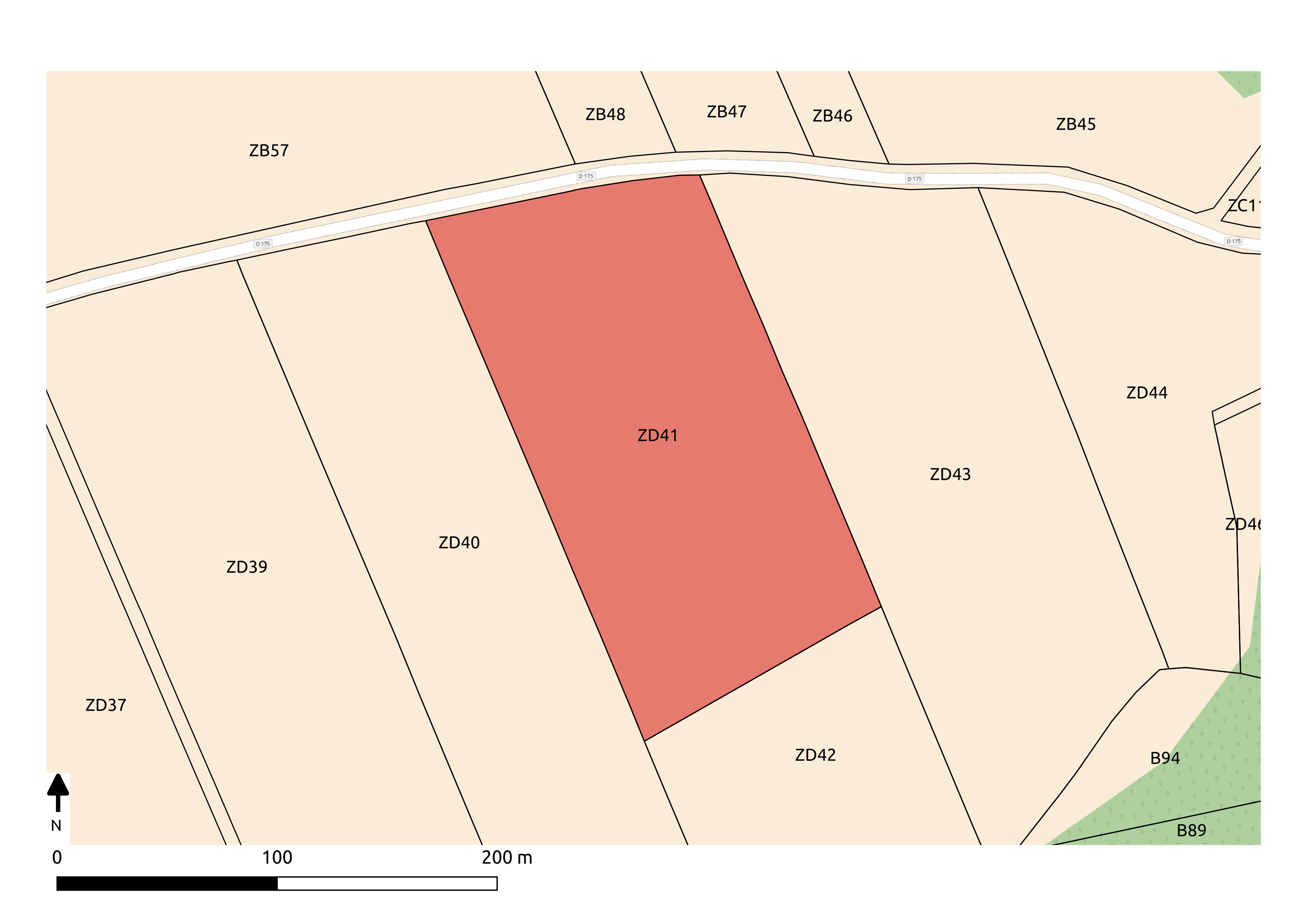
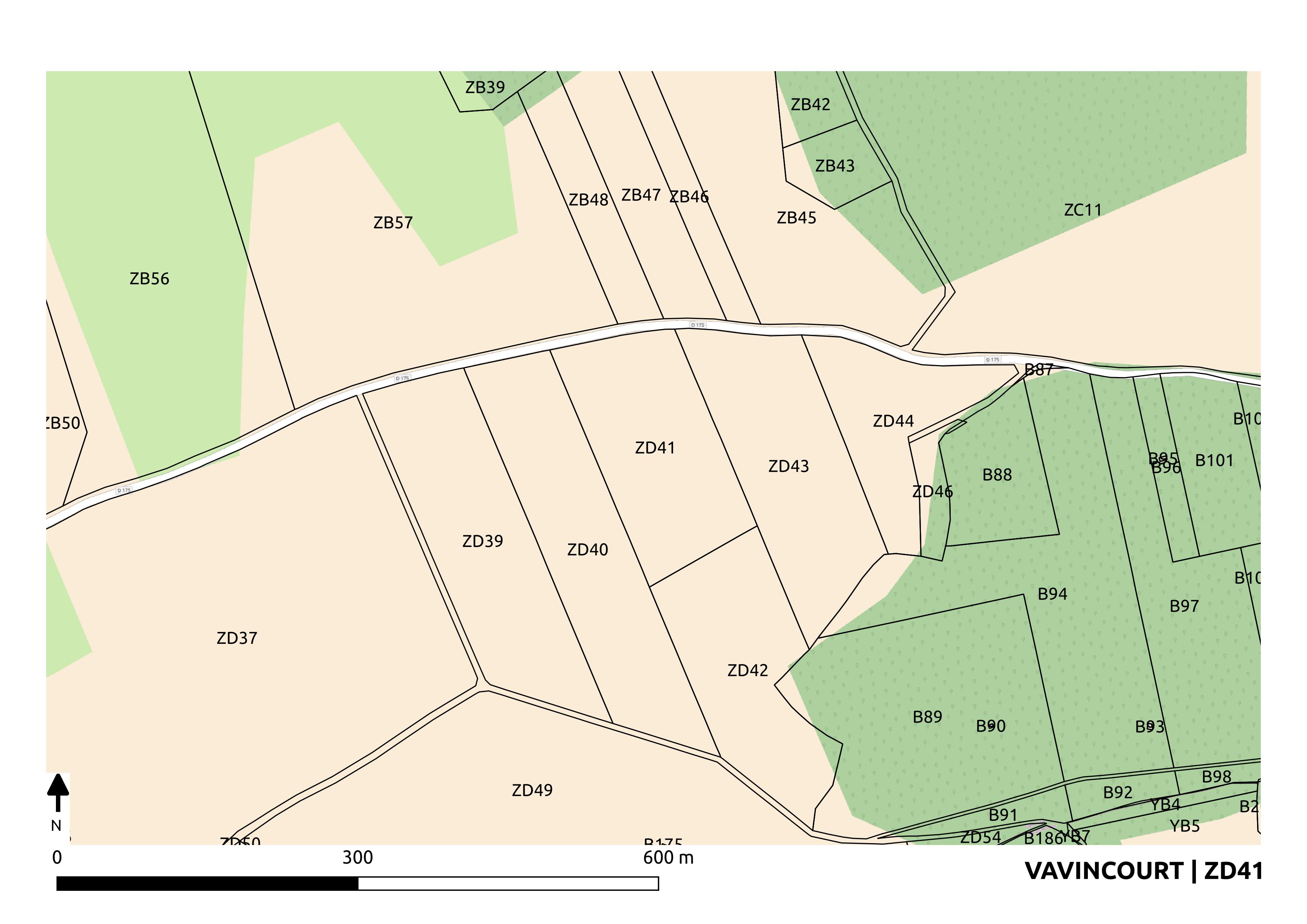
I'm trying to export a set of Image based on an atlas define by my plugin. Almost everything works well except that I have a rules based style on my coverage layer to highlight the current atlas feature as follow :
@atlas_featureid = $id
If I use my template composer inside QGIS the highlighted feature is updated for every map so everything seems right.
But when I generate the outputs from my plugin the highlighted feature does not update and stay always on the same feature... (no update)
Here is the code I use to instanciate and run the atlas:
composition = QgsComposition(renderer)
qpt_file = os.path.join(os.path.dirname(__file__), 'qpt','composer.qpt')
template_file = file(qpt_file, 'rt')
template_content = template_file.read()
template_file.close()
document = QDomDocument()
document.setContent(template_content)
composition.loadFromTemplate(document)
atlas_map = composition.getComposerMapById(0)
atlas_map.setAtlasDriven(True)

atlas = QgsAtlasComposition(composition)
atlas.setEnabled(True)
atlas.setCoverageLayer(layer)
atlas.setHideCoverage(False)

atlas.setFilterFeatures(True)
filtre = "\"{com}\"||\"{sec}\"||\"{num}\" in ({idents})".format(idents=idents,com=config['shp_mapping']['COM'],sec=config['shp_mapping']['SEC'],num=config['shp_mapping']['NUM'])
atlas.setFeatureFilter(filtre)
atlas.setFilterFeatures(True)
atlas_map.setAtlasScalingMode(QgsComposerMap.Auto)
atlas_map.setAtlasMargin(6.0)
atlas_map.setUpdatesEnabled(True)

atlas.beginRender()
composition.setAtlasMode(QgsComposition.ExportAtlas)

for i in range(0, atlas.numFeatures()):
     atlas.prepareForFeature(i)
     layer.triggerRepaint()
     feat = atlas.feature()

     exp_dir = os.path.dirname(QgsProject.instance().fileName())
     exp_dir = os.path.join(exp_dir,
                        config["relative_export_directory"],
                        feat[config['shp_mapping']['COM']])
     if not os.path.exists(exp_dir):
           os.makedirs(exp_dir)
     filename = feat[config['shp_mapping']['SEC']]+feat[config['shp_mapping']['NUM']]+'.png'
     out = os.path.join(exp_dir, filename)
     image = composition.printPageAsRaster(0)
     image.save(out)
atlas.endRender()
I suspect that I need to udpdate something for every rendered maps but I can't figure out what... The most weird thing to me is that it works fine when the atlas is exported from qgis GUI and this is the only problem I get in my resulting images when the atlas is exported from my plugin (the extent, scale, labels,... are fine). It's seems to be a style problem...


