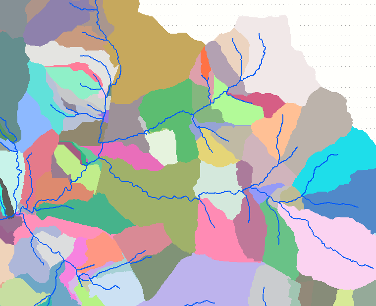
I have a reasonably accurate steam network for a watershed. This network includes the main channel, major forks, and tributaries. Each channel, fork, and tributary are individual records with single part geometries. The lines are topologically connected such that each tributary is snapped to its downstream geometry. Each line's geometry equals the flow direction of the watercourse it represents (lines point downhill). I also have a surface model with the same extent as the overall watershed. While these data currently exist in a vector datatype I can transform them into a raster datatype if needed.
I would like to create a new dataset such that each division delineates the (approximate) drainage for each tributary, fork, or main channel.
@WhiteboxDev states that Several [QGIS processing tools ] take stream network inputs and map subbasins in Creating catchment from point using DTM raster in QGIS? but I am unaware of what tool those would be.
Using ArcGIS Desktop, how do I create areas around my existing stream features where each area approximates the drainage around each stream feature?

