Using ArcGIS Desktop, how do I extract a certain area (uniform 1 km from the entire coastline) from a particular year's DEM image?
-
Assuming you already have the DEM to extract from, buffer your coastline by 1km then use Extract by Mask (spatial analyst required) resources.arcgis.com/en/help/main/10.2/index.html#//…. Buffering would work best if the coastline is in a projected coordinate system; be sure that the DEM and buffer have compatible spatial references, preferably the same spatial reference to avoid on-the-fly projection problems.– Michael StimsonCommented Nov 22, 2018 at 4:33
-
Welcome to GIS SE! We're a little different from other sites; this isn't a discussion forum but a Q&A site. Your questions should as much as possible describe not just what you want to do, but precisely what you have tried and where you are stuck trying that. Please check out our short tour for more about how the site works. Thanks.– PolyGeo ♦Commented Nov 22, 2018 at 5:26
-
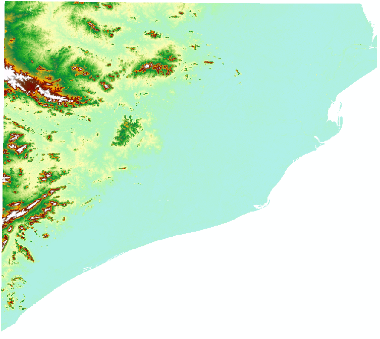
@MichaelStimson I have attached the image . Can you please tell me how to buffer 1 km from the irregular shape coastlines in the picture?– Rohan KarCommented Nov 22, 2018 at 8:28
1 Answer
To achieve this you would need to use a combination of raster processing tools, a bit of editing then buffer and extraction.
The Initial workflow would be this model:
Notes:
- IsNulll creates a binary mask of land and nodata.
- Majority filter (set neighbours to use to EIGHT) removes small pixels of nodata
- Focal Stat tool is set to SUM values and this captures the edge
- Reclassify allows you to pull out specific pixels at edge and convert rest to NODATA
- Convert the reclassified pixels to a vector line
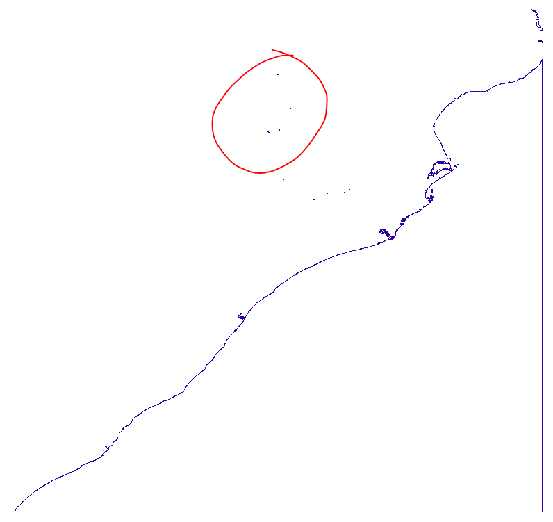
The output would be this:
Note that there was nodata in the middle of the DEM so these have come out and generate polylines, you would need to select and delete these out, also delete the obvious edge of raster lines (may require you to split the line with split tool) so you are left with just the coastal edge.
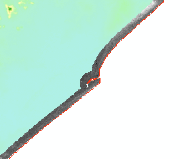
Then as Michael suggests buffer the polyline (make sure you set Dissolve type to ALL) and then use extract by mask, the final output is as below:
Red line is the polyline coastline you had edited, grey is the extracted section (1Km) and background is the source DEM data.
-
Sir, Can you please elaborate me on how to create a binary mask of land and no-data? Commented Dec 11, 2018 at 7:33
-
1Its the very first tool in the model, you use IsNull, see help file on how to fill in the parameters (which is easy). This will create a binary raster (1 and 0) where there is data (regardless of elevation) and nodata.– HornbyddCommented Dec 11, 2018 at 9:48
-
Sir, I got the 1st step. Now I am getting stuck in the reclassify tool, where my doubt is why we have to replace only the old 5,6,7,8 values to 1 and not others? Can you please elaborate. Commented Dec 13, 2018 at 6:51
-
1You should explore with any other combination of numbers and prove to yourself what happens. I chose those values (the result of a local sum) as I felt they best captured the edge.– HornbyddCommented Dec 13, 2018 at 10:22
-
1So have created a polyline edge but when you run the buffer tool it does not create a buffer? This seems like another unrelated problem which is a question in it's own right requiring you post a question showing your input data and the parameter settings of the buffer tool. Telling me it has not worked without showing the evidence is almost impossible for me or anyone else to answer.– HornbyddCommented Dec 13, 2018 at 11:53


