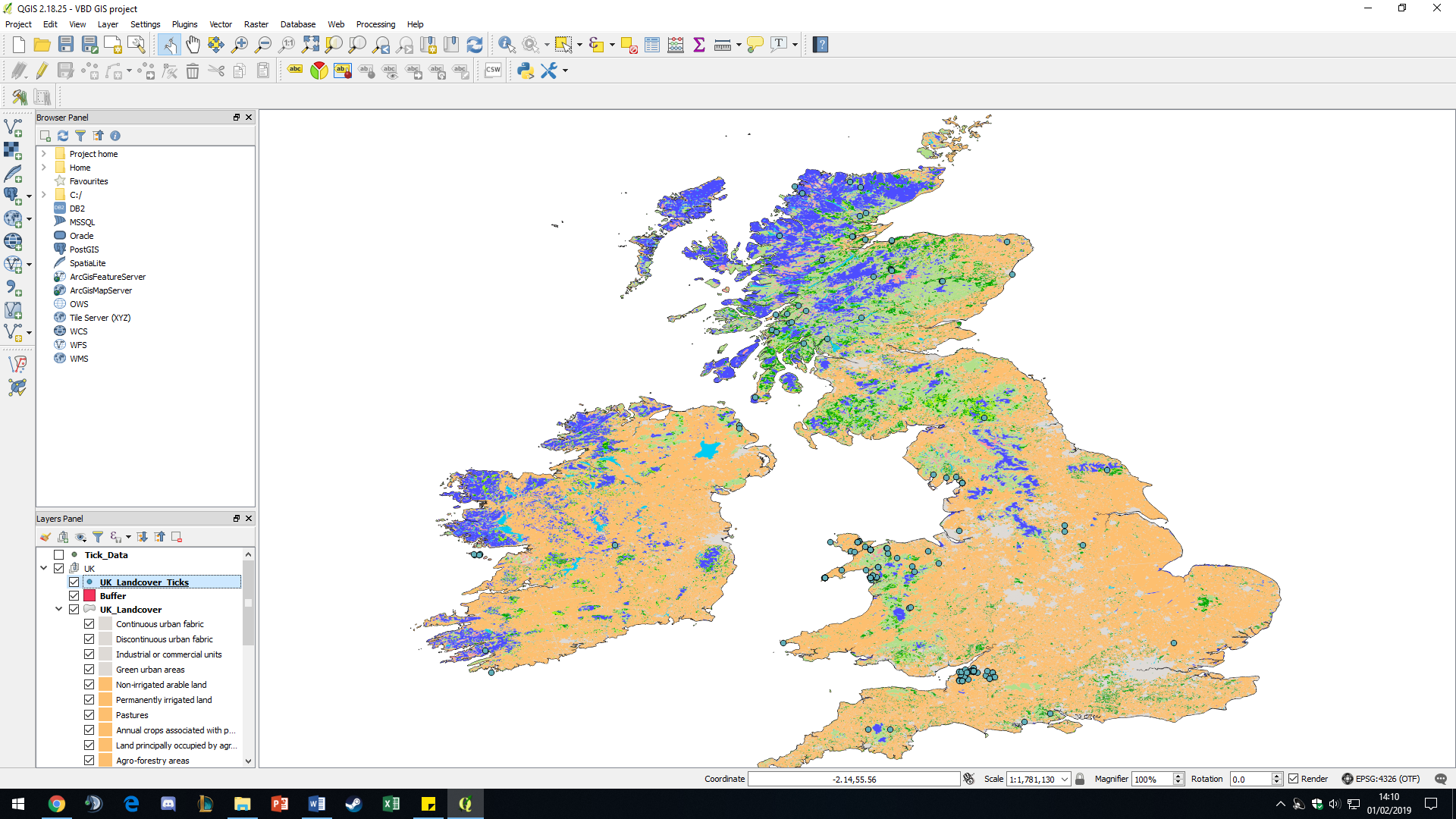
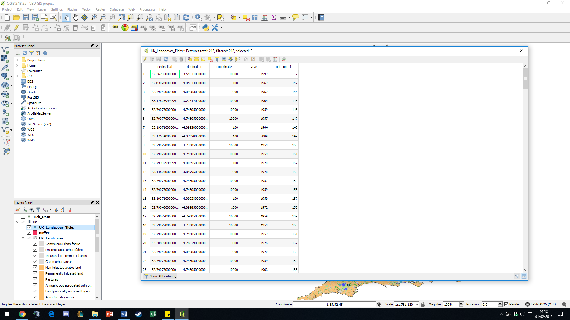
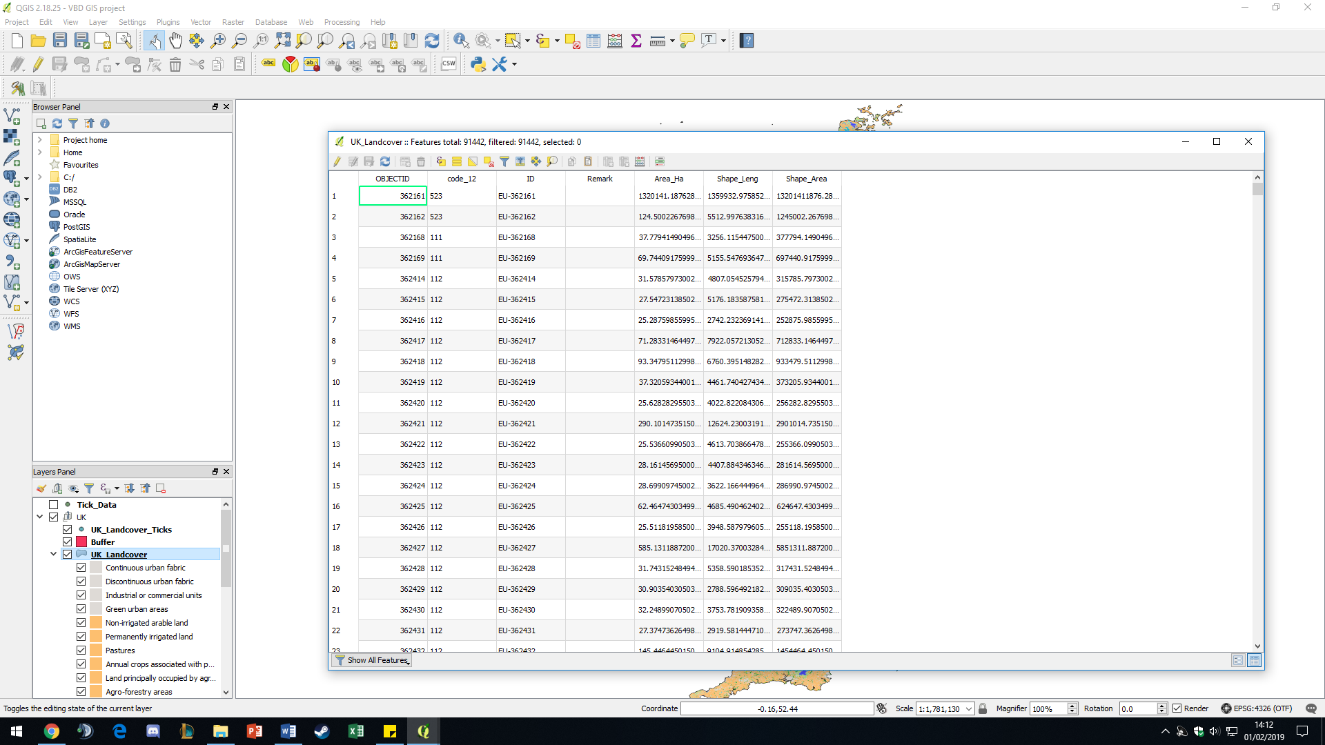
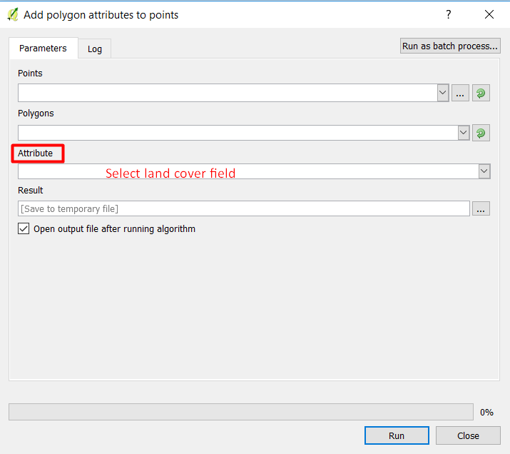
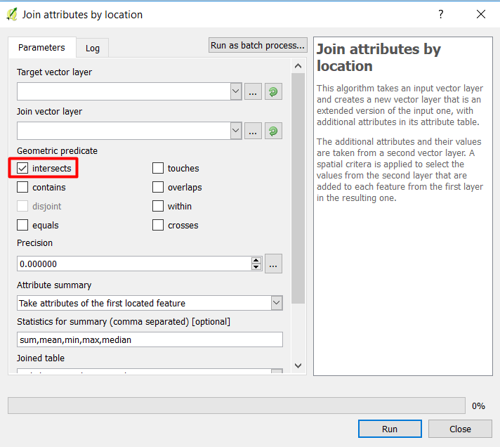
I have a point buffer layer which represents tick occurrence and a polygon layer which represents landcover types (derived from Corine land cover). I want to define which point buffers (1km) fall within urban areas to define risk zones. I also want to do this for thresholds of temperature and precipitation (which presumably I'm going to interpolate as gridded and mask onto polygon) to define 'high-risk zones'. I’m quite NEW to QGIS so not sure how to approach this. I have tried using the intersect tool but that just selects all the points from the land cover layer.
Attribute table for points

