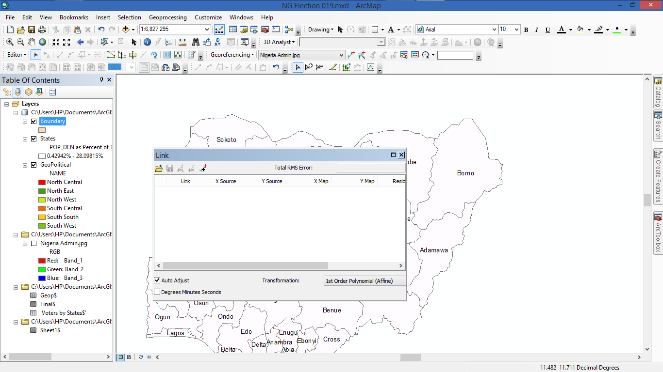
When you used Update georeferencing the links were stored in an external file, this is the reason why the links were disappeared.
Here is the explanation from the Fundamentals of georeferencing a raster dataset. Look at the section Should you rectify your raster?
Updating the georeferencing will store the transformation information
in external files—it will not create a new raster dataset, which
happens when you permanently transform your raster dataset. For a
raster dataset that is file based, such as a TIFF, the transformation
will generally be stored in an external XML file—with an .AUX.XML
extension. If the raster dataset is a raw image, such as BMP, and the
transformation is affine, it will be written to a world file. For a
raster dataset in a geodatabase, Update Georeferencing will store the
geodata transformation to an internal auxiliary file of the raster
dataset. Updating a raster layer, an image service, or a mosaic layer
will only update the layer within your map document; it will not save
the georeferencing information back to the source.
Although you can open the external auxiliary file in any text editor to see the coordinates, I am not sure you can load them as link file into the georeferencing table. However, the best practice would be saving a copy of the links in an external file so you can restore them when needed before clicking Update Georeferencing.

