I'm new to FME, and most of the time I work with ArcGIS Pro. I have a few building polygons, and a few points containing additional information. Now, in ArcGIS Pro I can spatially join these two, creating one layer with the polygon "look" but added with the point information. This then needs to be exported to a new shapefile.
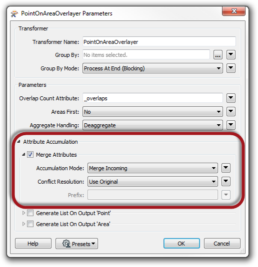
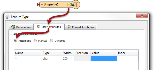
How can I recreate this in FME? I now used the PointOnAreaOverlayer, but when I export the area data, it still only contains the attributes from the input area, and the attributes from the points are not added. When I look at the area data with the inspector, it does show an attribute table wit the combined data, but when writing this to a new file, it does not.
Can someone help me out?


