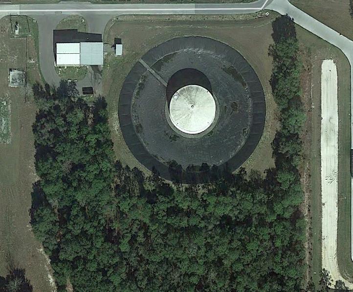
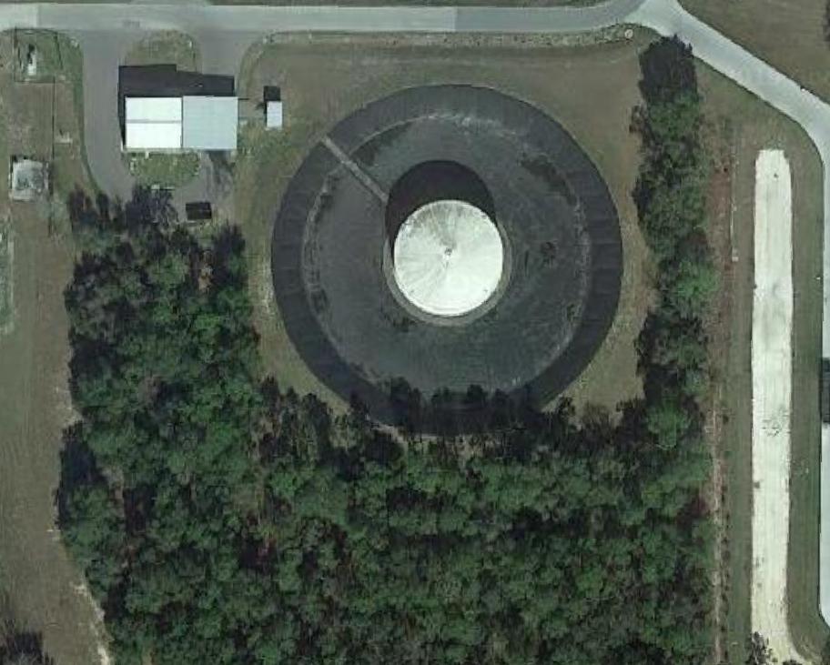
As far as I can tell, the Google satellite imagery loaded as an xyz tile in QGIS is the same image that is used in Google Earth, but at a lower resolution. The lower image below is from QGIS using the xyz tile while the top image is from Google Earth. Both are screenshots.
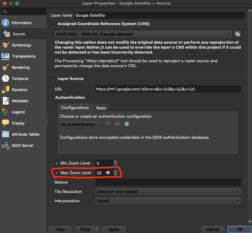
I used "https://mt1.google.com/vt/lyrs=s&x={x}&y={y}&z={z}" for the xyz tile and I am using QGIS 3.8, but I also have this issue when using older versions. Is there a way to improve the xyz tile resolution?
Edit 1: the CRS for the QGIS image is WGS 84/UTM zone 17N (EPSG,32617) Edit 2: they are just simple windows snips, but do not look any different when exported using 600 DPI


