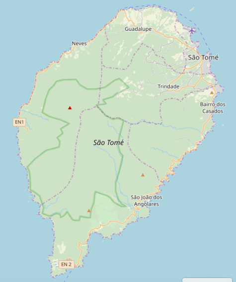
I am a total GIS beginner and have been trying to make some simple maps of the nation of São Tomé and Príncipe using QGIS and publicly available data. The readily available data I find comes from OSM. Some features, such as waterways, coastlines, and cities/towns/villages I have been able to find as individual shape files and add to my QGIS projects as layers that can be turned on and off. But other features I can only find as part of one "flattened" (computationally-speaking) file that renders like this:
This data was obtained by selecting 'OpenStreetMaps' from the 'XYZ Tiles' option in the QGIS browser pane, but I've found the same data various places on the internet. There are lots of great features visible, but they all come as a single layer, and I can't find any way to select/de-select/modify them individually. For example, the district boundaries in purple and the park boundary in green.
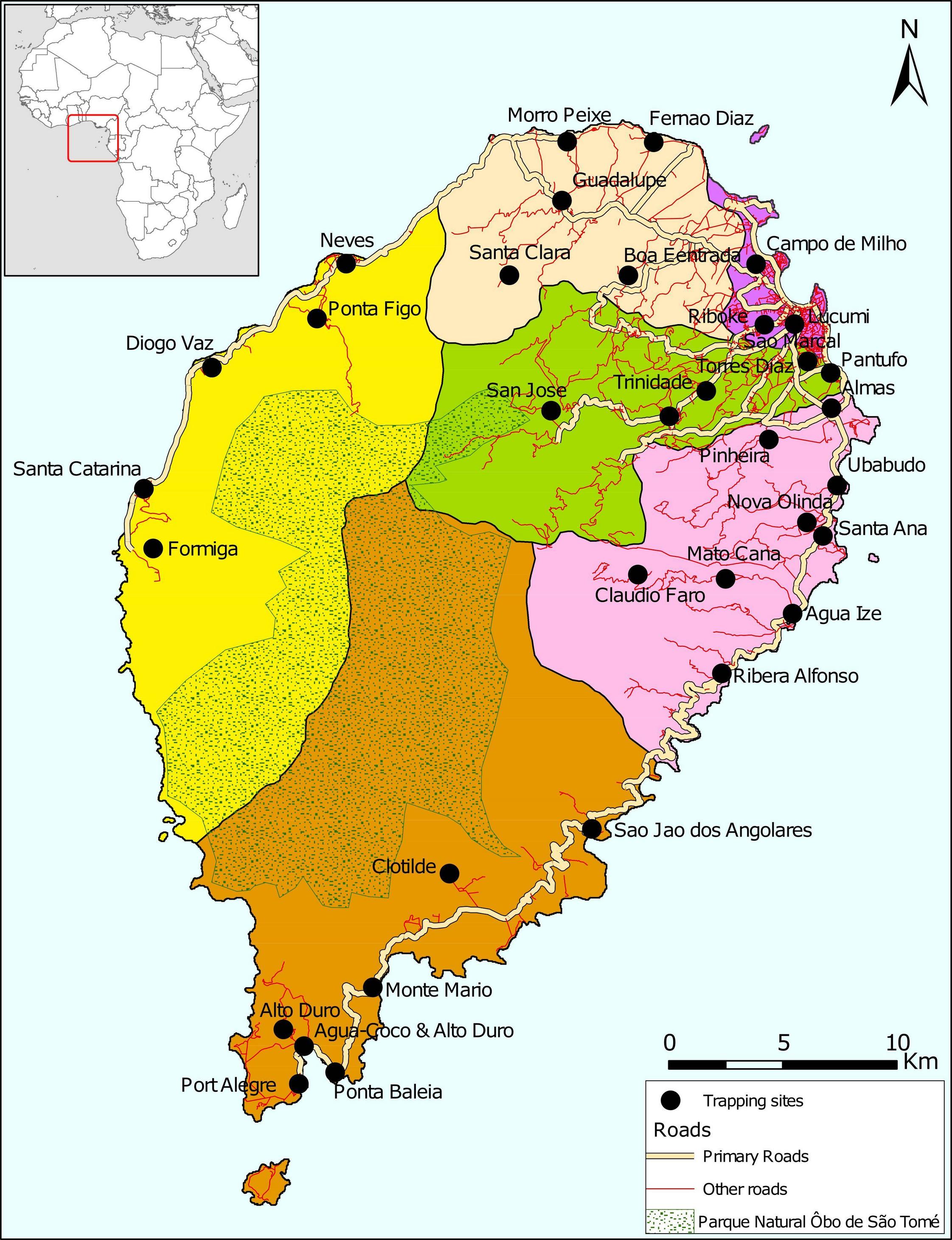
However, my boss sent me some .png files given to him by some long-ago employee and wants me to create similar maps:
Here we have the same district and park boundaries, but whoever created this map was able to manipulate those features individually. I've been looking high and low but can't find individual shape files for those features on the internet.
Does anyone know where they might have come from?
I also notice that the roads are broken out here as 'Primary roads' and 'Other roads', whereas the OSM shape file I've found only has one class: 'roads'.
I feel like (even with my rudimentary skills) I can re-create these maps as requested, if only I can find the underlying data!


