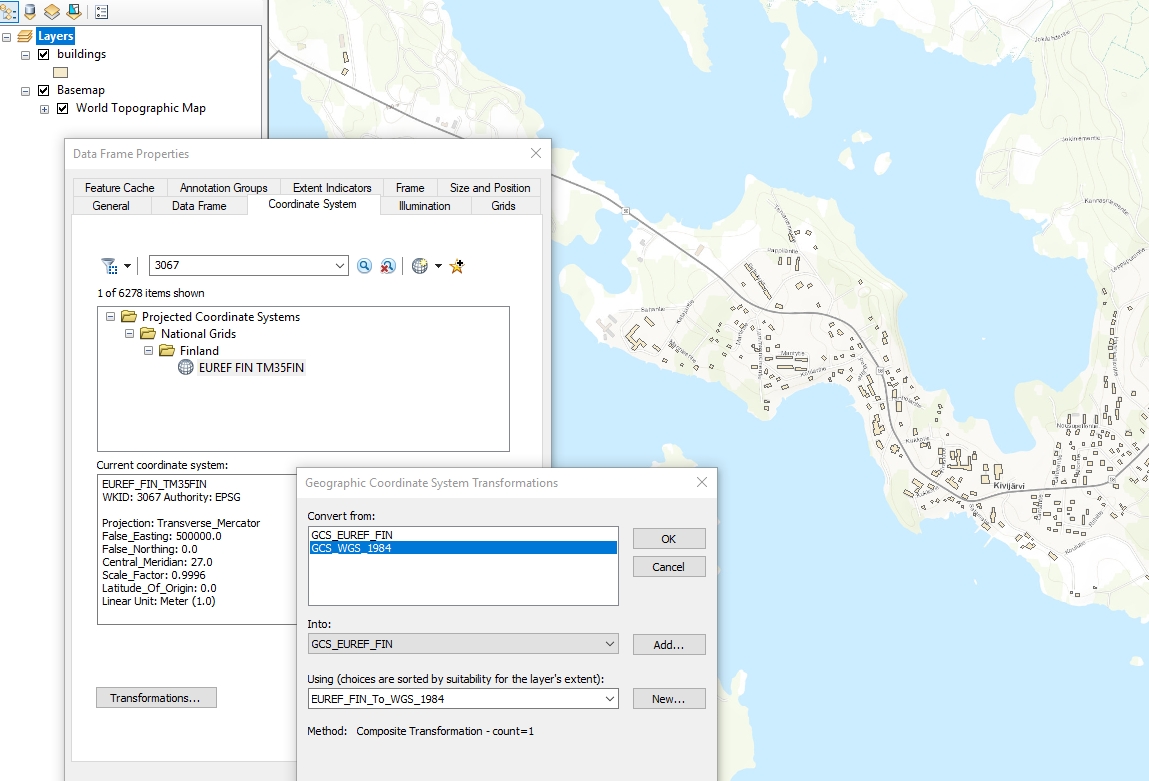
I have a shapefile of Finland in WGS84 (EPSG:4326), that I would like to convert to projected coordinate system, most commonly used in Finland.
But, here is my confusion:
I have found that from 2005, topographic maps should be in EUREF-FIN CS, as ETRS89 realization in Finland http://www.kolumbus.fi/eino.uikkanen/geodocsgb/ficoords.htm
But, here they also list ETRS-TM35FIN to use for country wide displays. So, what is the difference between EUREF-FIN CS and ETRS-TM35FIN?
In ArcGIS, I can find both of them, under different WKID code:
- WKID: 3067: EUREF_FIN_TM35FIN
- WKID: 5048: ETRS_1989_TM35FIN_NE
Checking using EPSG codes (https://epsg.io/), the same WKID codes represent the same CS name, but with switched Northing and Easting! (why would anyone do that?!)
- EPSG: 3067: ETRS89 / TM35FIN(E,N)
- EPSG: 5048: ETRS89 / TM35FIN(N,E)
SYKE institute provides free open data in ETRS-TM35FIN (EPSG:3067), which again mixes the name (ETRS) with EPSG for EUREF_FIN_TM35FIN.
Well, what is proper coordinate system to use in Finland? and how is it specified in ArcGIS/proj4 library?

