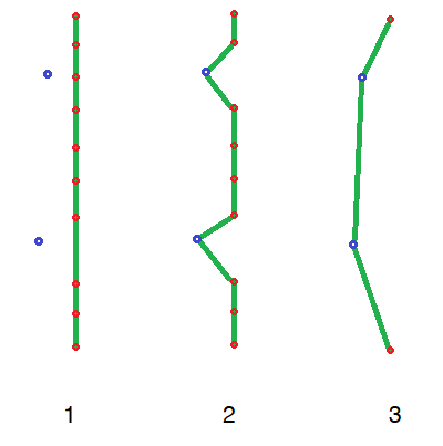
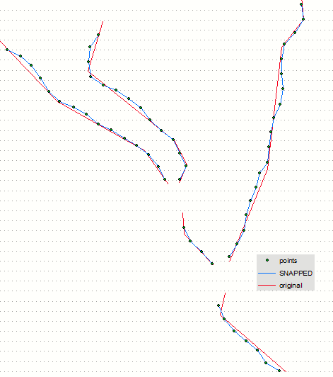
There are multiple toolboxes in ArcGIS Suite that deal with geographic transformation and correction, such as Spatial Adjustment, Rubbersheeting, and Snap. I'm not sure how to best use a tool to correct my line to a series of points as shown in image #3:
1) is what I currently have;
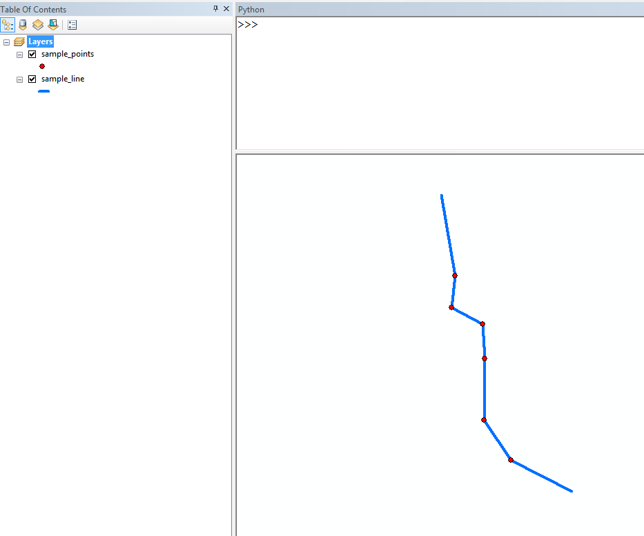
2) is what I get when I use the Snap tool; and
3) is what I want.
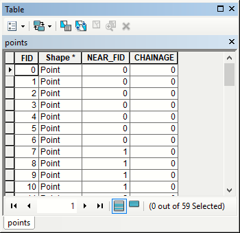
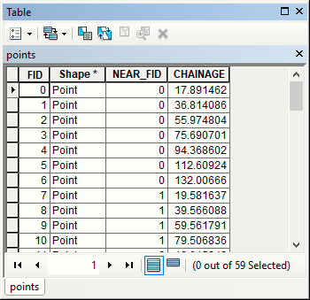
The points are considered accurate geographic "anchors" for the lines, but don't otherwise share any field attributes with the lines. I have access to a list of all of the point coordinates.
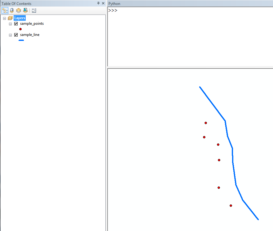
If I snap the line without vertices with the Snap tool, the tool doesn't work at all, even with a high tolerance set (higher than the distance between the line and the point).
I'd like to stick to ArcGIS Suite, and to use something that has a corresponding arcpy tool. I realize that I can move the anchors/delete the middle anchor (vertex) to get the shape in Figure #3, but I plan on automating this process because I have hundreds of lines and thousands of points.

