2

I had downloaded some data from https://nsidc.org/data/SPL2SMAP_S The description of the data is given in the page. Using an earthdata login, one can download the data. The data consists of *.xml and *.h5 files.enter image description here
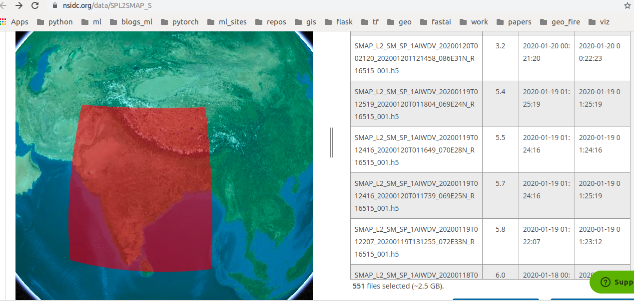
Before downloading the data i selected the region as is seen in the picture above.

I tried

gdal_translate -of GTiff HDF5:"SMAP_L2_SM_SP_1AIWDV_20200103T012207_20200103T010733_073E32N_R16515_001.h5"://Soil_Moisture_Retrieval_Data_3km/water_body_fraction_3km out.tiff

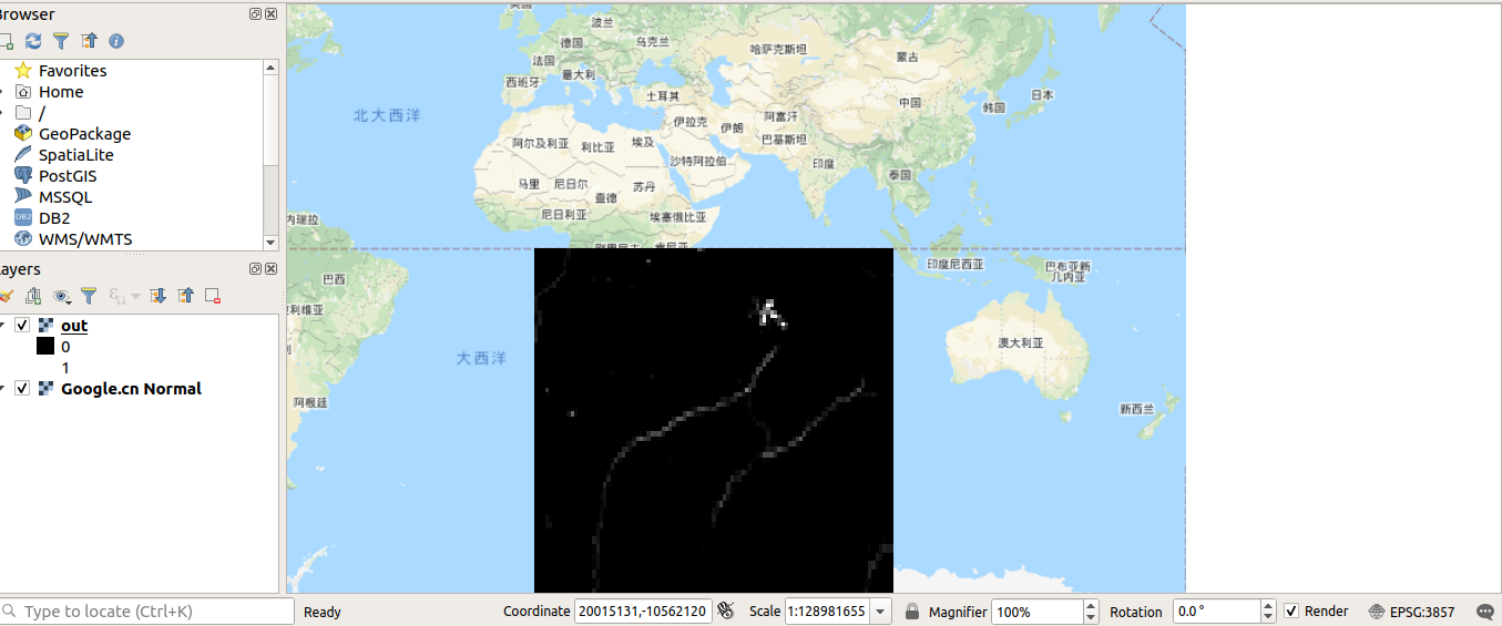
This output tiff when projected in QGIS was off enter image description here I am looking for water_body_fraction_3km actually. I need help in creating a georeferenced tiff file (raster) containing this value.
1 Answer 1

2
  • Step 1: Go to https://search.earthdata.nasa.gov/search?q=SPL2SMAP_S
  • Step 2: Select the tile that pops up
  • Step 3: Filter granules by date and region
  • Step 4: Select + Add to Project on right
  • Step 5: Select My Project button that appears
  • Step 6: Select More Options
  • Step 7: Select Customize under Select Data Access Method
  • Step 8: Under Reformat Output select GeoTiff for output file format & select Done
  • Step 9: Select Download Data button

Your Answer

By clicking “Post Your Answer”, you agree to our terms of service and acknowledge you have read our privacy policy.

Not the answer you're looking for? Browse other questions tagged or ask your own question.