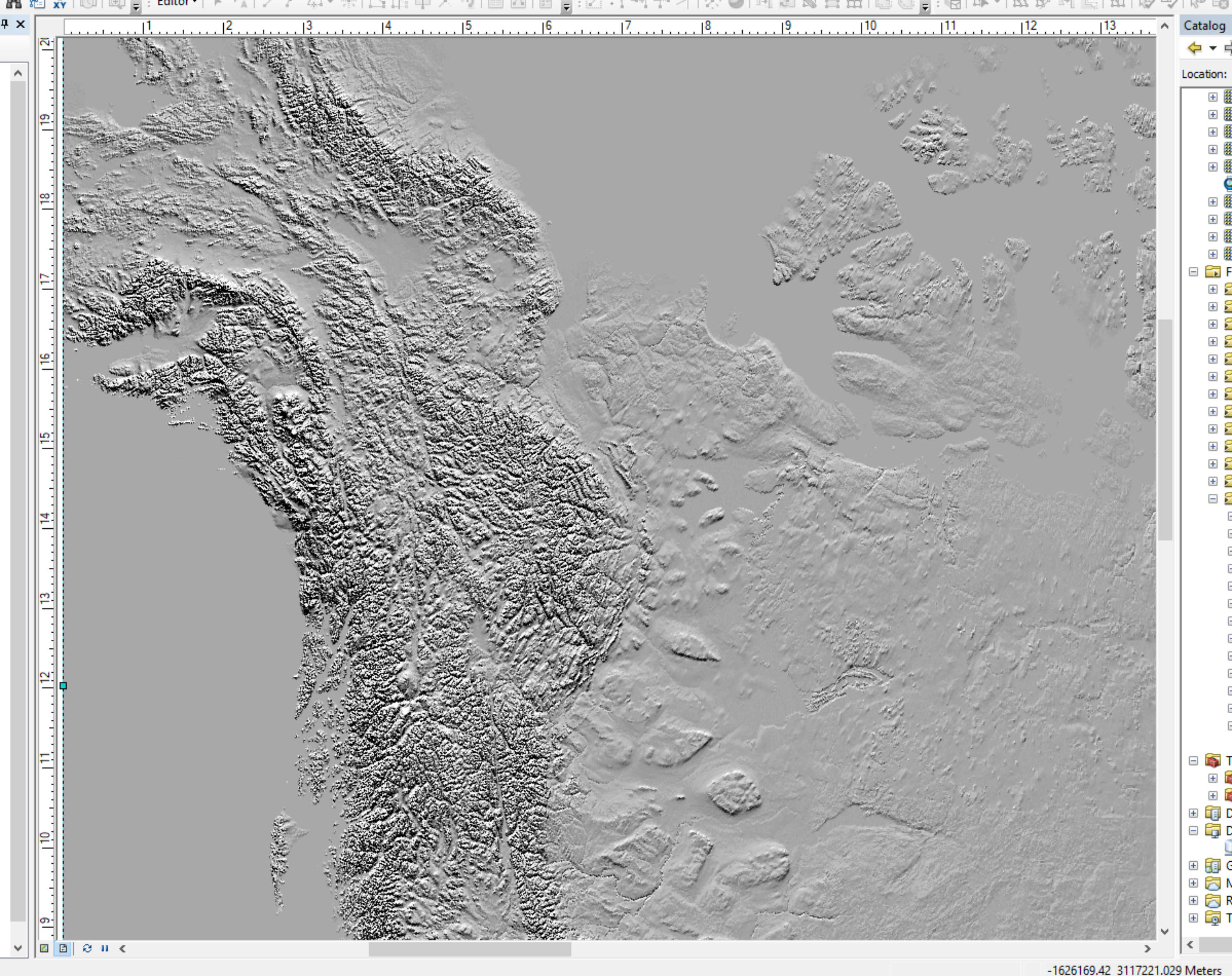
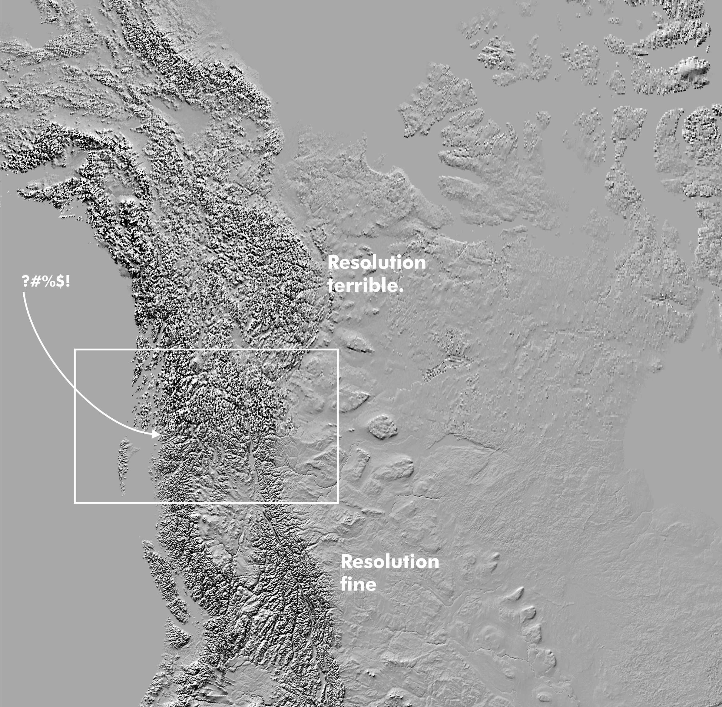
I'm trying to export a portion of Natural Earth's world 10M hillshade in ArcMap but above a certain latitude, the resolution unexpectedly changes and is really poor. This is a screenshot of the area in ArcMap. The resolution over the entire area is fine.
When exported, there is a very distinct line where the resolution abruptly changes. Hillshade image is imported into data frame (projection is Canada Lambert Conformal Conic). It's being exported from Map View as follows: File--> Export map - exporting as Tiff. I've tried 300dpi to 600 dpi resolutions and the issue remains the same. I've also tried exporting in the same fashion as .jpg. The same thing happens.
What might be causing this to occur?


