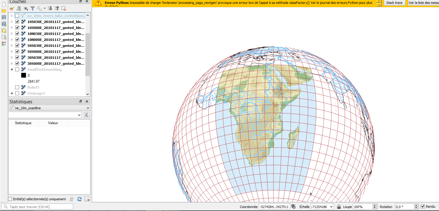
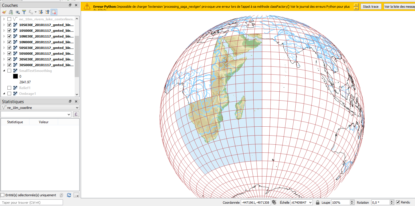
I am trying to put together Topographic .Tif rasters (from GMTED data) on an ortographic globe on Qgis 3.4.1, for exemple these 8 layers:
However when I change the projection and one of the various layer appears toward the extremities of the globe, it suddenly dissapears: (the above screenshot used a projection centered on 35°W, the one below on 60°W)
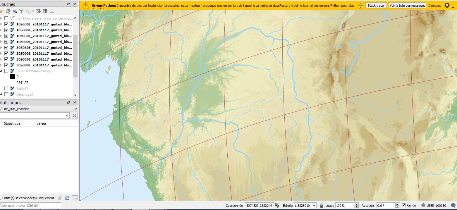
However If I zoom/increase the scale on the rasters that dissapeared, they eventually reappear
It doesn't matter whether I change the scale or zoom, as long as I unzoom at a certain level it disappears.
I encounter the same problem when I make a print layout and add a part of the map on it, if it is unzoomed then the raster disappear.
I tried to check in "scale dependent visibility" in the render part of the layer settings, but it didn't do anything. I also don't think it is a problem with parts of the raster being "behind" the globe and thus not being rendered, since I encounter this problem even when all corners of the raster are on the visible half of the globe, although this glitch happens nearly always on rasters that are near peripherical to the globe.
Thanks for your help.


