1

I have two layers which come from the same data source. The first one is a vector grid layer which contains 1km x 1km features and looks like this:

Grid Layer

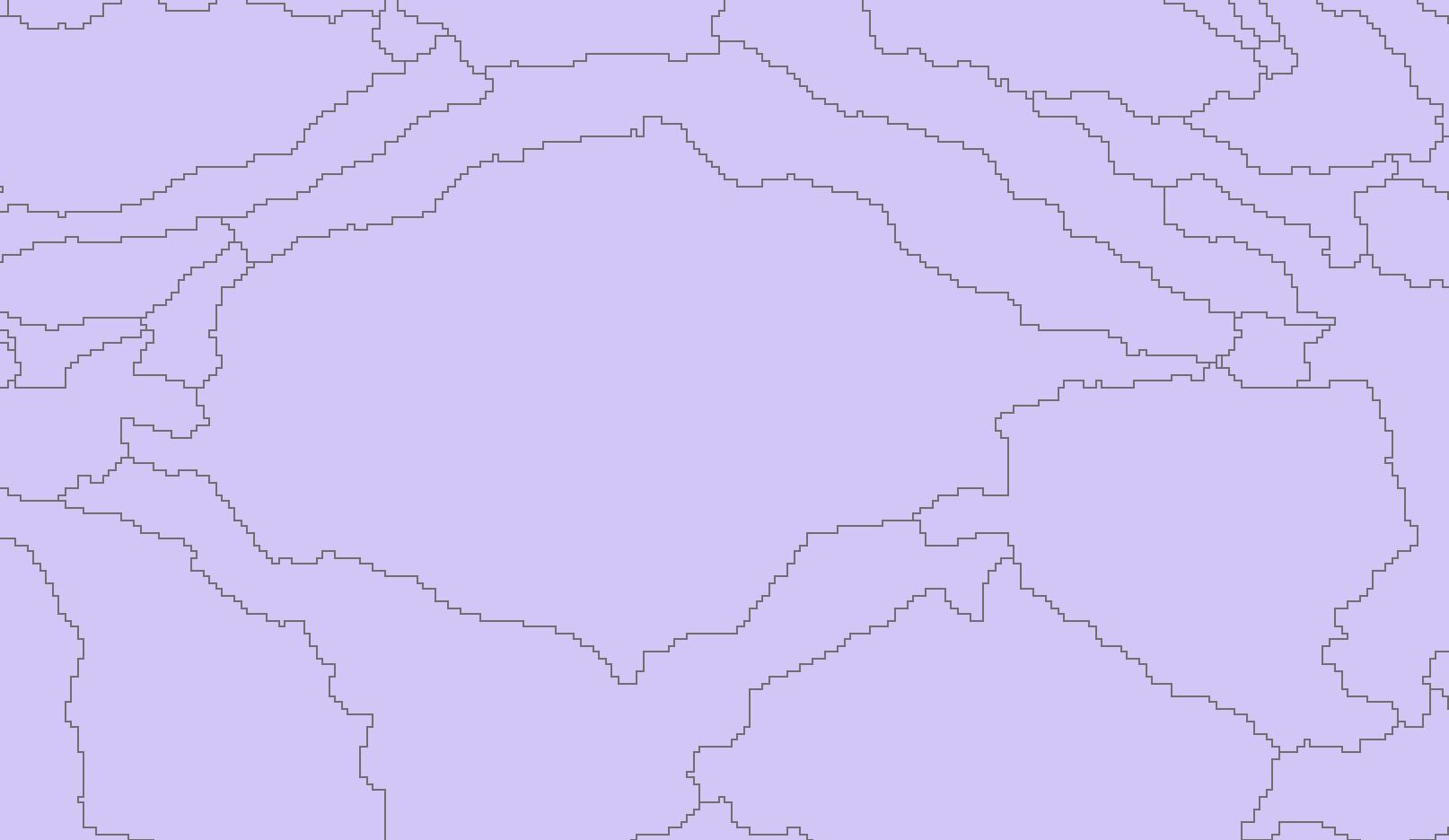
The second one is the grid layer dissolved into Sub-Bains, which i.e. looks like this:

Sub-Basin

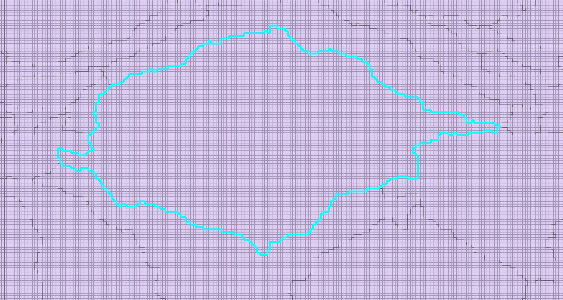
I need to select all the features from layer one which touch the borderline of each Sub-Basin of layer two from within the Sub-Basin. For example of this Sub-Basin:

Select

This has to be done for multiple (1000) Sub-Basins, so selecting them manually would be too time consuming. To include some context: I need to identify the feature with the biggest water outflow into another Sub-Basin and for that I need to export all the features which are on the inner edge of the basin.

Is there a tool or a way this can be done?

3
  • 3
    Google Modelbuilder and iterators
    – Bera
    Commented Aug 26, 2020 at 8:13
  • 2
    Also, please decide which software you're using, otherwise the question will be closed for need of focus.
    – Erik
    Commented Aug 26, 2020 at 8:22
  • 2
    I may have misunderstood your requirements but if your vector grid was a flow accumulation raster converted to its vector equivalent, then go back to the raster and use the Zonal statistics tool with your sub-basins dataset and select the statistic to be the MAX value and it will do the lot in one go.
    – Hornbydd
    Commented Aug 26, 2020 at 16:02

1 Answer 1

0

The solution was actually easy. I only needed to choose the Relationship as "Boundaries_Touches" in the Select Layer by location tool and it would select all the the features on the edge of each sub-basin. Then export the data and dissolve the sub-basin ID and choose the statistic type "max" for the outflow.

Your Answer

By clicking “Post Your Answer”, you agree to our terms of service and acknowledge you have read our privacy policy.

Not the answer you're looking for? Browse other questions tagged or ask your own question.