I am editing my question after messing around with some SQL expressions.
pipeline = pipeline shapefile - Geometry Line (MultiLineString)imported into SpatiaLite database pipeline_road_dist.sqlite. Projected to EPSG: 3400
road_seg_clip = road shapefile - Geometry Line (MultiLineString) imported into SpatiaLite database (pipeline_road_dist.sqlite). Projected to EPSG: 3400
Expression:
SELECT lic_li_no, roadsegid,
MaxDistance(pipeline.geom, road_seg_clip.geom) AS dist
FROM pipeline, road_seg_clip
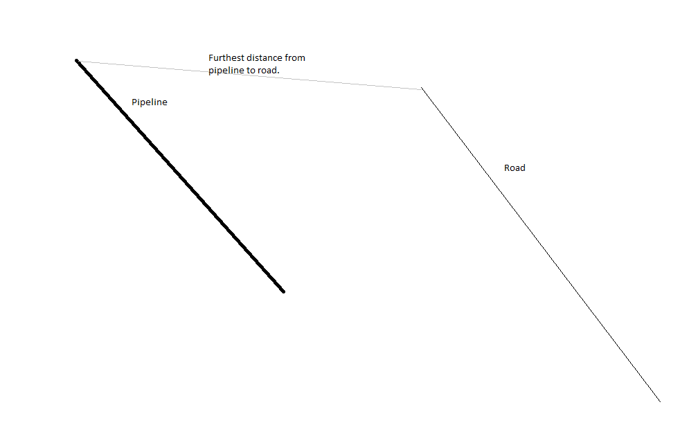
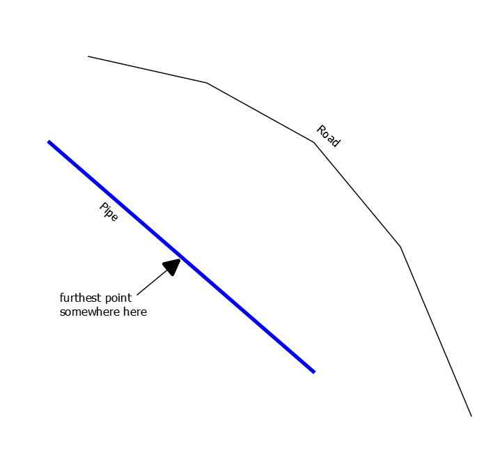
However this gives some pretty large distances (i.e. distance from a pipeline segment to a road of 4.5 km, but there is one 25 meters away).
I also tried the following expression:
SELECT lic_li_no, roadsegid,
Distance(pipeline.geom, road_seg_clip.geom) AS dist
FROM pipeline, road_seg_clip
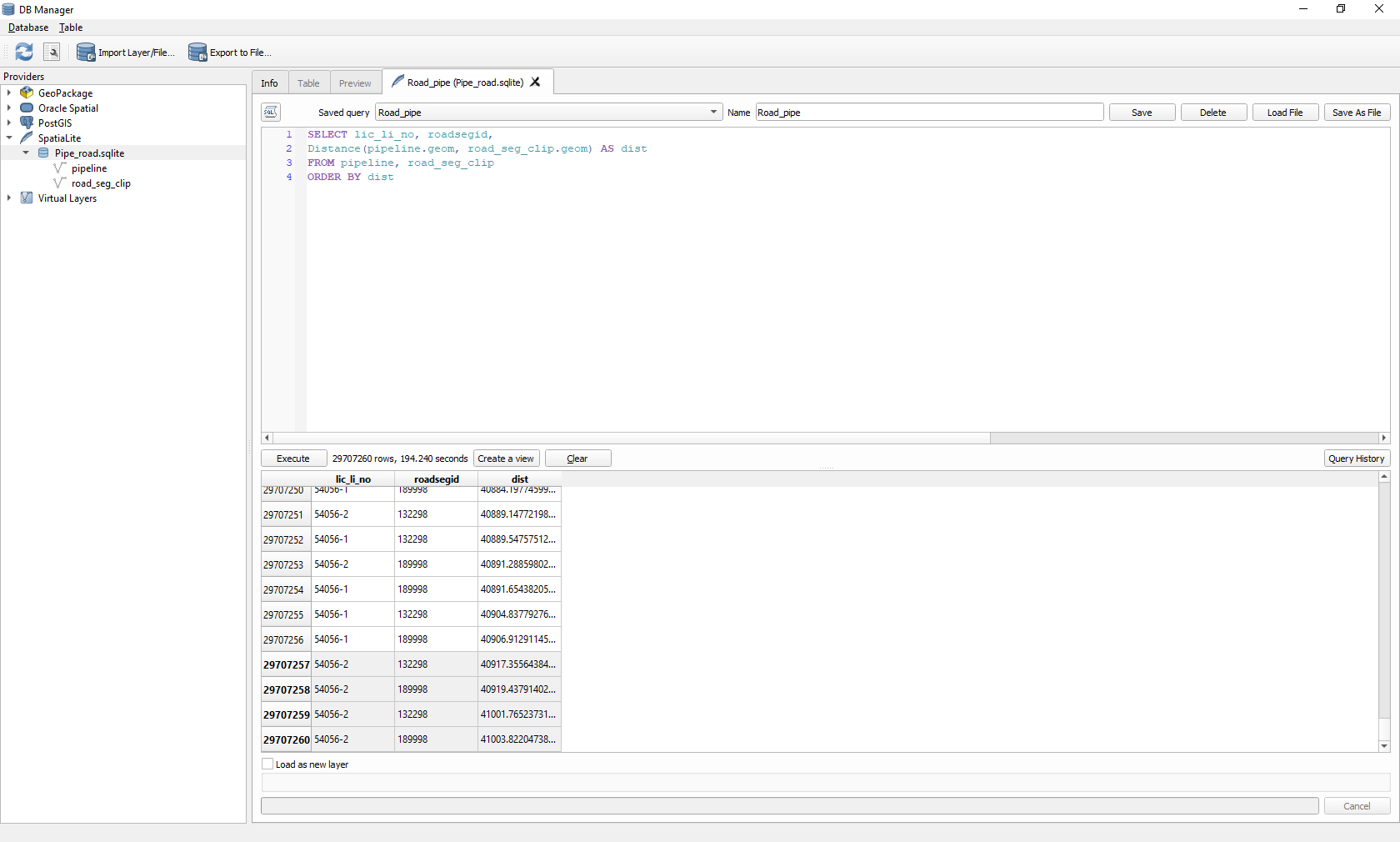
ORDER BY dist
I also get the same wrong distances, which is likely because I have forgotten to do something regarding the geometry/datum instructions. As you can see 41003 m is not right.
After all this I cannot load the results into my canvas because there is no geometry column recognized. I am missing a step.
Updated image below.
[![DB Manager] 1]]2
1]]2


