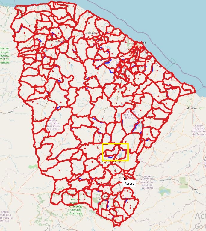
I have two state level vector layers with individual shapes for each county inside the state boundary. I am trying to identify the area differences between each county within the state layer between the two files. I've tried the following using shapefile and geojson format: I processed using the difference tool but this only gives me the difference between the state boundaries, rather than the difference between the overlapping counties inside the state boundary.
I would like the symmetrical difference between each of the counties, but this tool also only gives the difference around the external state boundary. The only unique field in common between the two layers would be the name, but there are some different spellings. There is the 'Split vector layer'under data management tools, but I would want to scale this up.
How can I get the polygon area differences between the individual counties?
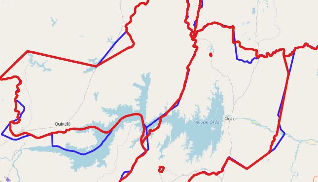
Below are two images. The data is admin data from OSM, compared to another layer from the government. In the zoomed in image you can see the spatial differences, and my idea was to perform 2 differences from the vector-geoprocessing tools options, reversing the role of input/overlay in the process. I would then look at differing areas between corresponding features between both datasets


