0

I want to combine the attributes of five shapefiles into one shapefile using QGIS. Therefore, I used several data processing steps including clipping the five shapefiles to the boundaries of my investigation area using Vector > Geoprocessing Tools > Clip and using Fix Geometries to avoid invalid polygons. The polygon shape and number of the shapefiles are different, but they have the CRS.

I used Vector > Data Management Tools > Join Attributes by location to join the shapefiles. But after I joined the third shapefile, the shapefile size has already reached around 1 GB. I have read that the maximum shapefile size is 2 GB. While joining the fourth shapefile, the computation time was really long and my computer crashed around half of it. I tried it a second time, but it happened again.

My three shapefiles look like this:

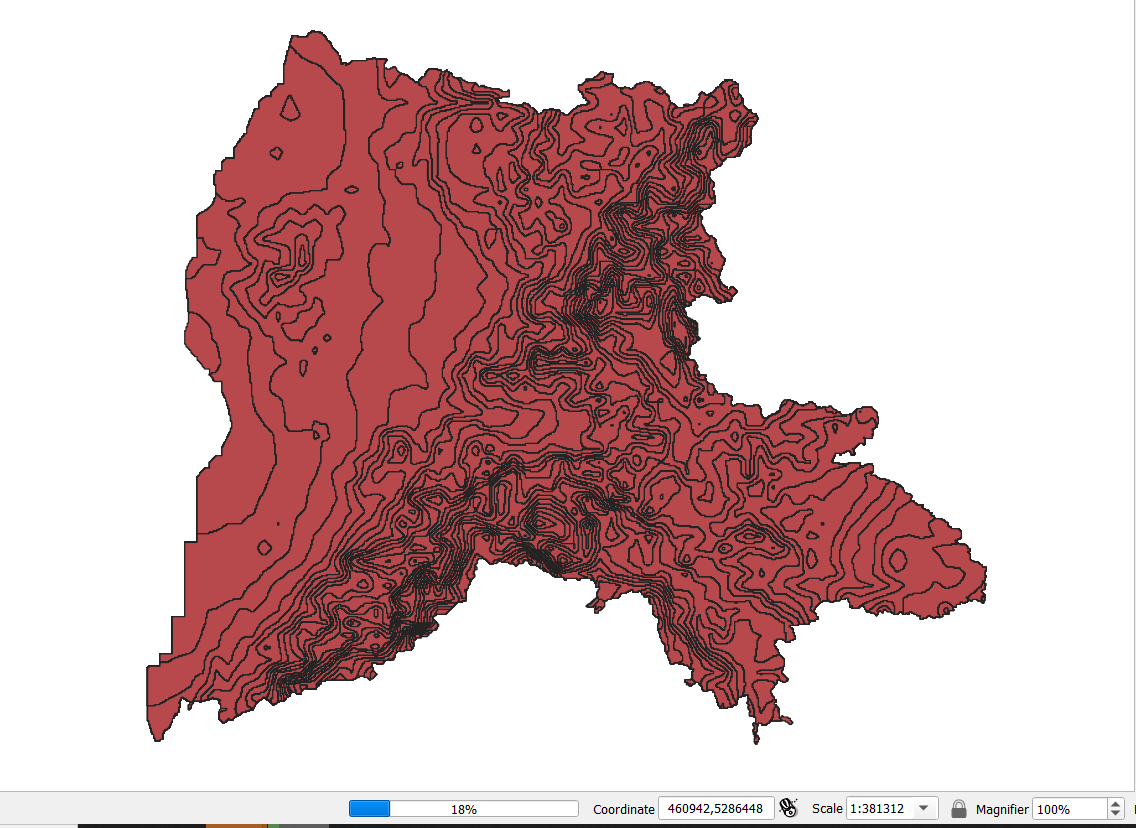
  1. Temperature_Precipation_Slope with 40.423 Features (already joined three shapefiles)
Field       Type      Length     Precision
Precipitat  Integer   4          0
Temperatur  Integer   2          0
Slope       Integer   1          0

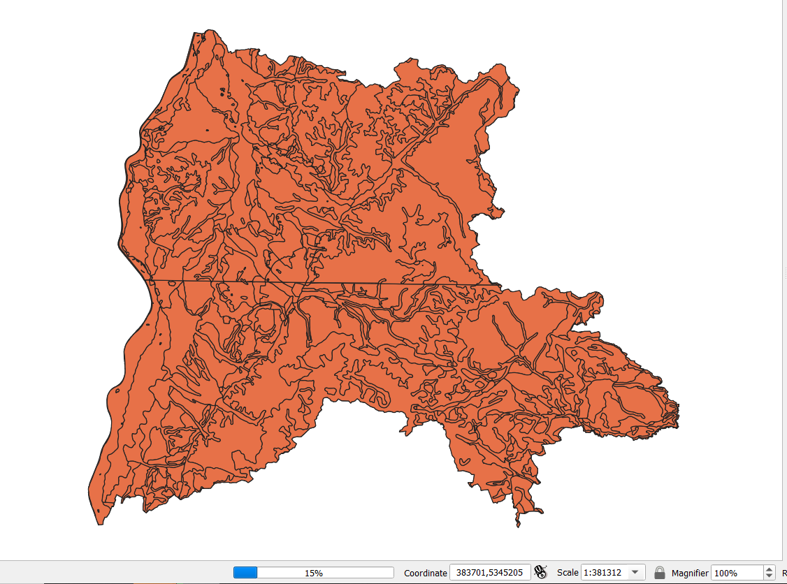
enter image description here 2. BUEK200 with 101 features

Field       Type      Length     Precision
TKLE_NR     Integer   6          0

enter image description here 3. CLC10 with 2675 features

Field       Type      Length     Precision
clc         Integer   3          0
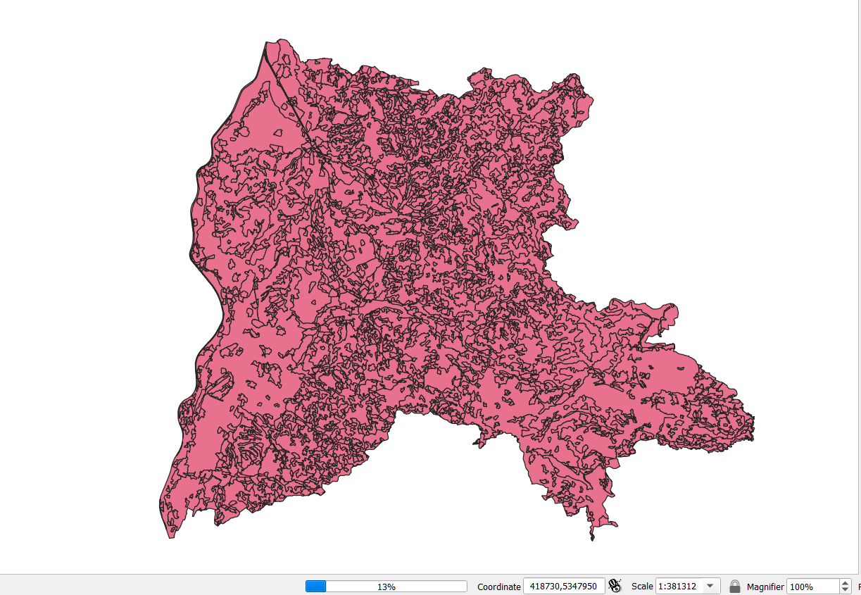
enter image description here I already decreased and aggregated my data, by using ranges in the attribute tables to minimize the number of polygons within one shapefile. Moreover, I changed the type and size of the fields with Refactor fields.

I could add the fourth shapefile and save it as a GeoPackage, but the size of the GeoPackage was already 17 GB. While adding the fifth shapefile and saving the result as a GeoPackage, my laptop crashed again. I guess I don't have enough memory space to save such a large file.

I now try to use PostGIS (which I haven't used before) and managed to upload my shapefiles into the two tables Temperature_Precipation_Slope and Buek200_CLC10.

If I understood correctly I can't use ST_Union, as the shapefiles don't have a common attribute.

SELECT * From "Temperature_Precipation_Slope"
SELECT * From "Buek200_CLC10"

However, I don't understand how to perform the spatial join by location

3
  • In addition to @nr_aus commentish-answer it'd be also interesting to see the spatial overlap of your data.
    – Erik
    Commented Dec 4, 2020 at 8:24
  • I added pictures, the shapefiles overlap to a large extent except for border areas. Commented Dec 4, 2020 at 8:40
  • 1
    Features in the various layers partially overlap each others, which creates an important (not necessarily invalid) number of features. Ex: Feature 1 in layer 1 overlaps 2 polygons in layer2 --> 2 outputs. It then overlaps 3 polygons in layer3 --> 1*2*3=6 outputs, and again 2 in layer 4 -> 1*2*3*2 = 12 outputs. You need to think how you want the output (aggregated values? distinct records? or maybe keeping a join is the thing to do). When using a DB, make sure to index the geometries. Do the spatial join using st_intersects (st_union aggregates the geometries)
    – JGH
    Commented Dec 4, 2020 at 14:42

2 Answers 2

3

You don't have to use PostGIS. There are other options available to get around the space size. A Geopackage is probably the easiest option.

Size of the output file will be driven by:

  • Number of records
  • Number of attributes per record Then to a lesser extent:
  • Complexity of attributes (eg: 10 integers uses more space than 5 integers, string fields of 255 characters, will use more than 20 characters).
  • Geometry complexity (number of vertices)

Perhaps put in your question

  • number of records
  • number of attributes per record.
  • geometry type

At the end of the day, if you have 1 million records, then you have 1 million records - If you don't need 1 million records, then think about aggregating your data. (Dissolve by attribute) before processing it any further.

0

As I didn't have enough memory space available and I couldn't further aggregate my data, I used PostGIS to solve my problem. I uploaded the already partly joined shapefiles into the two tables Temperature_Precipation_Slope and Buek200_CLC10 in PostGIS. There I used the following Query to perform a spatial join of the tables:

CREATE TABLE gis_data AS
SELECT tps.precipitat, tps.temperatur, tps.slope, bc.tkle_nr, bc.clc
From "Temperature_Precipation_Slope" tps, "Buek200_CLC10" bc
WHERE ST_Intersects(tps.geom, bc.geom);
1
  • 1
    try a geopackage next time! :)
    – nr_aus
    Commented Dec 17, 2020 at 7:14

Your Answer

By clicking “Post Your Answer”, you agree to our terms of service and acknowledge you have read our privacy policy.

Not the answer you're looking for? Browse other questions tagged or ask your own question.