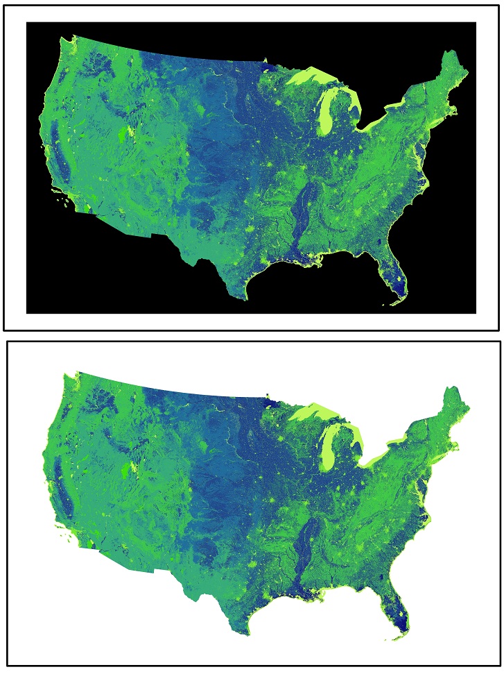
I want to mosaic three images. Each image has a black back ground. The background is still there even after mosaicking the images, so it's like a gap between the image.
How can I remove this black color using ArcGIS or QGIS.
use gdalwarp as following code:
gdalwarp -srcnodata 0 -dstalpha input.tif output.tif
-srcnodata value [value...]: Set nodata masking values for input bands (different values can be supplied for each band). If more than one value is supplied all values should be quoted to keep them together as a single operating system argument. Masked values will not be used in interpolation. Use a value of None to ignore intrinsic nodata settings on the source dataset.
.
-dstalpha: Create an output alpha band to identify nodata (unset/transparent) pixels.
Removing the black collar is very easy using ArcMap 10:
Alternatively, you can Reclassify your raster data and either exclude certain values or set the black collar pixel values to "NoData".


If you are using QGIS, you can remove the black background/edges via properties -> transparecy, there you set the No data value to 0. In any case, my answer is almost 2,5 years late, however this answer might be useful for someone facing some problems at present time.
In ArcGIS Pro:
Please note: for some annoying annoying annoying reason, the Symbology Ribbon tab at the top of your screen has the masking options hidden under "Advanced Options" and evaded my discovering it previously.