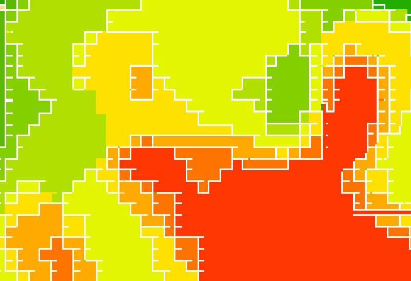
I am editing a single-band .tiff file in ArcMap 9.3. I started with an image that I had to georeference, but unfortunately, the image had these little slivers of missing data between the data cells. I get left with a raster file that has lots of "slivers" of nodata between my coding cells (shown here in white).

I would like to use something analogous to vector snapping, in which I eliminate those white slivers, instead making those sliver raster cells equal to the value of one of the adjacent cells.
