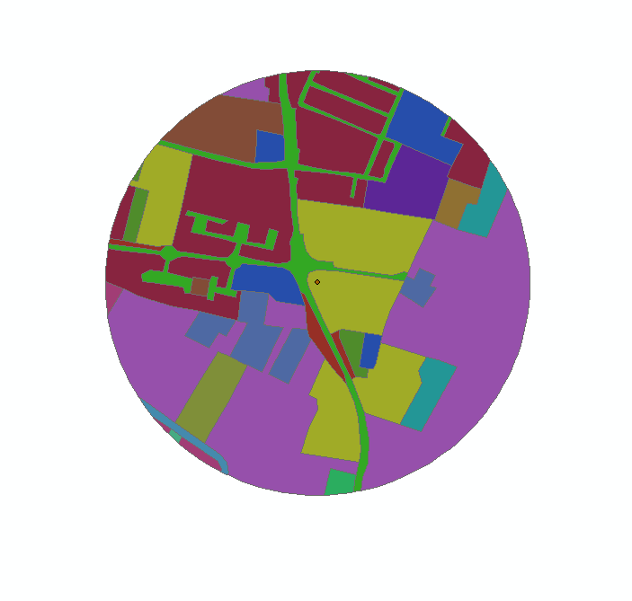
In ArcGIS I created a buffer of 500m around a point. Then, I clipped a land use layer using the 500m buffer as the clip feature. The outcome is shown in the figure.
My problem is that the layer appears to be clipped only visually: when I open the attribute table, the polygons are not clipped, but they keep their original areas. For example, the green polygon, representing the street, has an area of 276,660,000 m2, which is clearly not possible, being the total area of the buffer only about 745,250 m2.
How can I clip the my layer in a way that it also affects the attribute table?

