I am trying to find nearest n/w nodes from multiple buildings in an area, I have 2 geodataframes/Tables in Oracle DB, buildings have point geometries with ID's and Nodes have point geometries with Node ID's,
Eg: I want to find the nearest N nodes from 1 building- I have ~100000 Nodes, so to find the nearest nodes I am experimenting with 2 techniques, Oracle Spatial Functions and GeoPandas/BallTree in Python
- Finding the Nearest points using Ball Tree from Sklearn, Code - https://stackoverflow.com/questions/62198199/k-nearest-points-from-two-dataframes-with-geopandas
closest_stops = nearest_neighbor(buildings, stops, return_dist=True)
This gives me fast results and works on the complete set of Data
- Finding Nearest points using SDO_NN in Oracle DB: Link - https://docs.oracle.com/database/121/SPATL/sdo_nn.htm#SPATL1032
SDO_NN(geometry1, geometry2, param [, number]);
My code
SDO_NN(S.LOCATION, ORACLE_SPATIAL_STUDIO.SGTECH_PTF(N.LONGITUDE, N.LATITUDE), 'DISTANCE = '2000' UNIT=FOOT SDO_NUM_RES=1', 1 ) = 'TRUE'
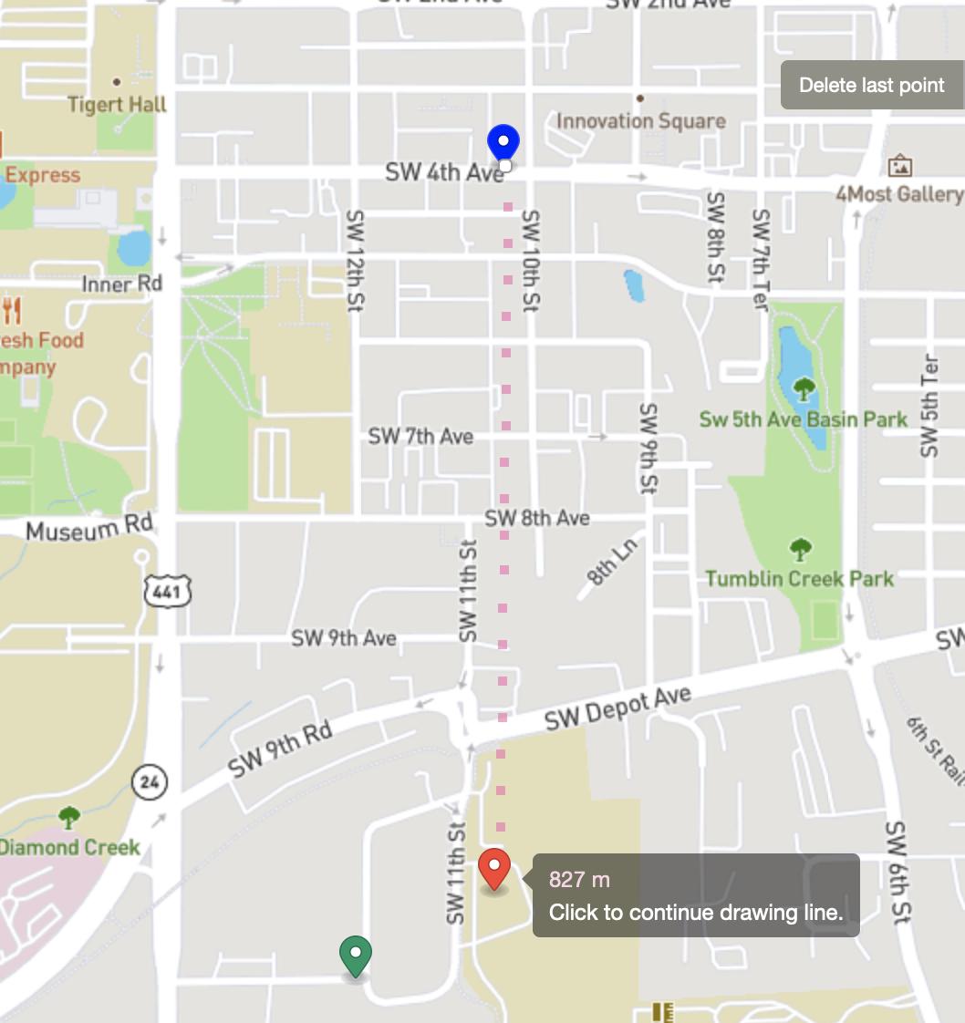
The question is I observed for some buildings the 1st Nearest points out of the ~100000 Nodes is exactly the same for both Techniques in Meters/Feet, although there are some instances where the 1st nearest Point is completely off for the BallTree Algorithm, Eg:
Building Location
 Result from BallTree - 110m
 Result from SDO_NN - 185m

In reality on Google Maps, the distance is completely off from the calculations and also the result from SDO_NN looks closer

I understand that here BallTree uses the haversine metric to measure the distance, but I would like to understand the difference between both and which can be trusted for real world applications such as Network Deployment Routes ,etc.
Best case scenario is getting the Nearest Node based on Accessibility/Roadway distance but I believe that's challenging with my current setup.
Any Ideas on the Distance calculations here? Any Suggestions on which technique I can rely on?

