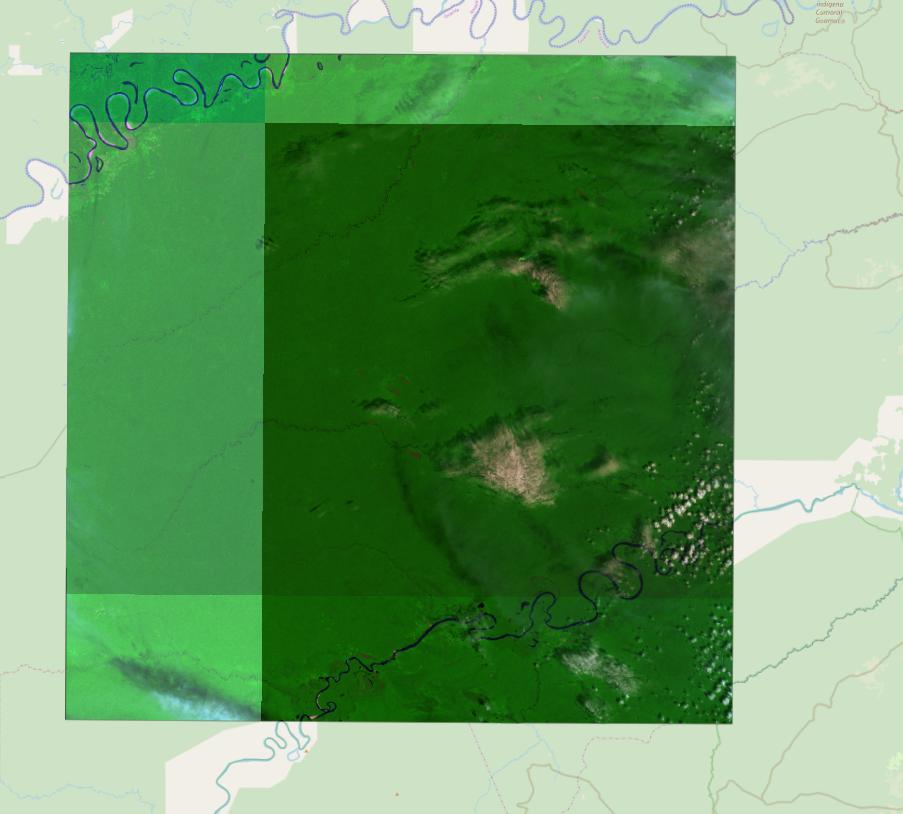
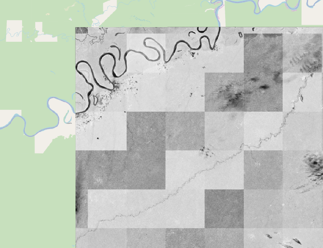
I have a Sentinel-2 image published on my GeoServer.
When I preview the layer, I can see it changes coloring somehow as I zoom in / out.
You can see examples in images below (look at the scale values at image bottom).
This may be not a problem at all if I'm using a "flat" 2D map like OpenLayers, but in Cesium the result is very ugly because Cesium request tiles at different zomm level due to its globe representation. See last image.
What I need to do to avoid this if it is possible?
This is how GDAL generate the image:
gdalbuildvrt -separate "myfile.vrt" B12_20m.jp2 B8A_20m.jp2 B04_10m.jp2
gdal_translate -co BIGTIFF=YES "myfile.vrt" "myfile-t.tif"
gdalwarp -t_srs EPSG:4326 "myfile-t.tif" "myfile-final.tif"


