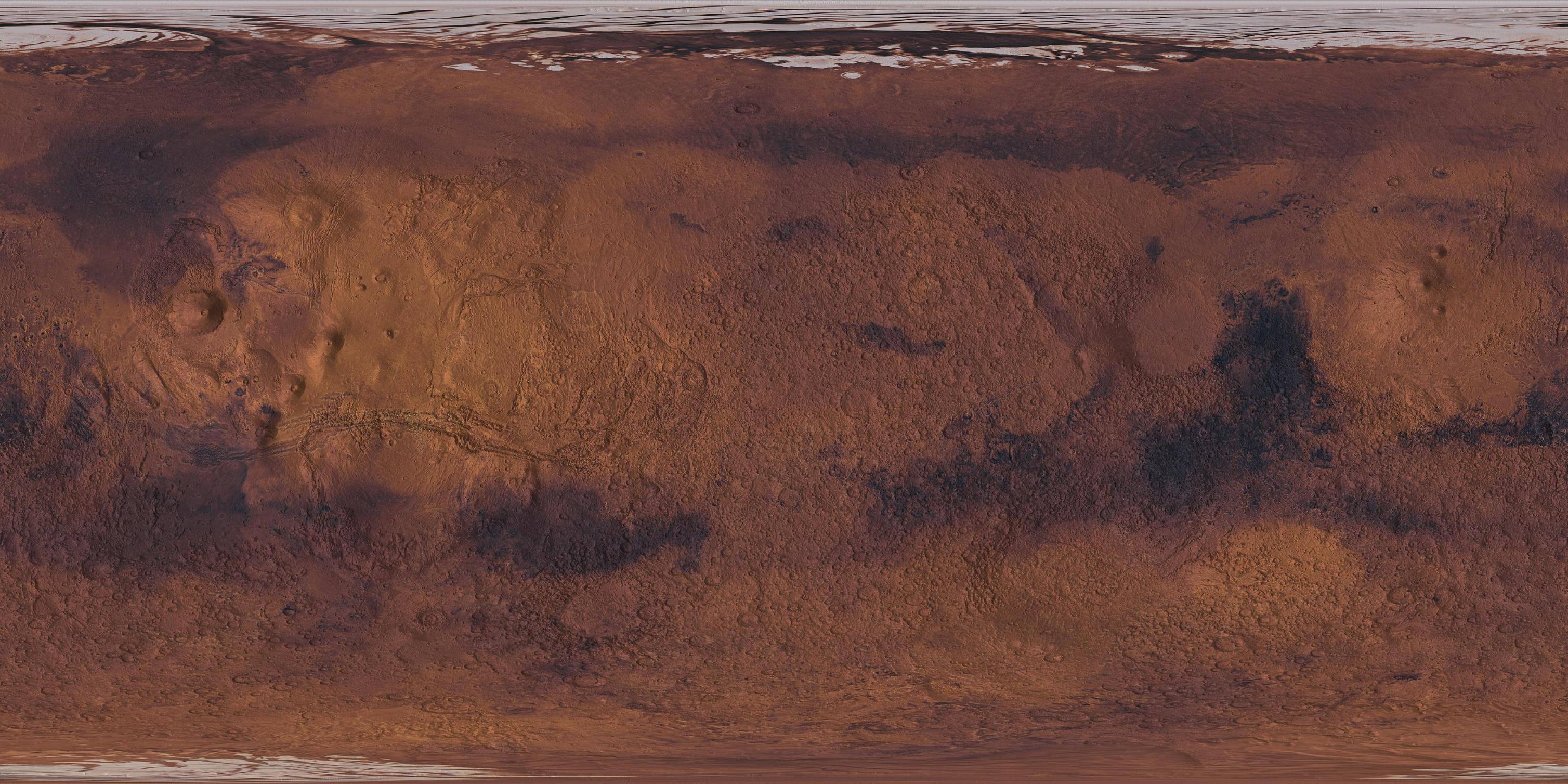
I have rendered a TIFF file, which is on the Mars2000, simple cyllindrical projection format. I want to upload the file to MapBox, and thus need a GeoTiff file.
How can I use GDAL, or similar, to convert the TIFF file to a GeoTIFF?
The image is on the exact same format and resolution as Mars MGS MOLA, as this was the base image for the render, which looks like this: 
I used GDAL with the command gdal_translate -of GTiff -a_srs .\format.wkt input.tif output.tif (which worked without errors) however when I upload to MapBox I get the following error Error creating Mapnik Datasource: could not read georeferencing , so I suspect the format is still corrupt somehow.
