I recently discovered QGIS and would like to apply it to a project. I would like to use flood maps from a study in Shanghai and overlay them with building data from OSM.
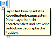
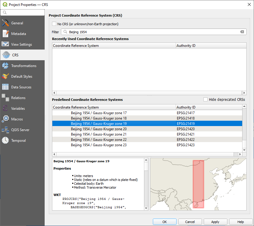
For the project, I have received raster inundation maps in tif. format. The researchers told me that the GCS of the raster data is Beijing 1954. However, when loading them into QGIS I get the message that the layer does not have a set CRS (see Error Message in German).
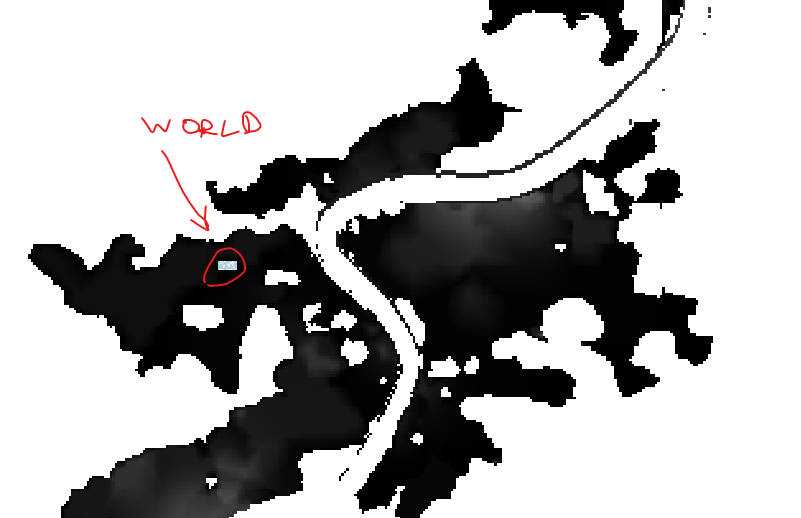
The loaded raster data does not align with the vector building data at all (WGS 84). It is totally messed up in terms of size, as you can see in the second screenshot. The world map is as large as a few pixels of the raster layer.

Therefore, I tried all the following options:
- Assigning a new CRS to the raster data.
- Using the warp tool to reproject the raster data.
I think it's important to note that I used the original file for option (2) and not the adapted file.
In both ways, it still did not align with my building data. I checked lots of QGIS tutorials on what I may be doing wrong, but I didn't determine that yet.
Any ideas?


