I'm using QGIS and I'm triyng to extract raster values around some points that were created from a .csv file.
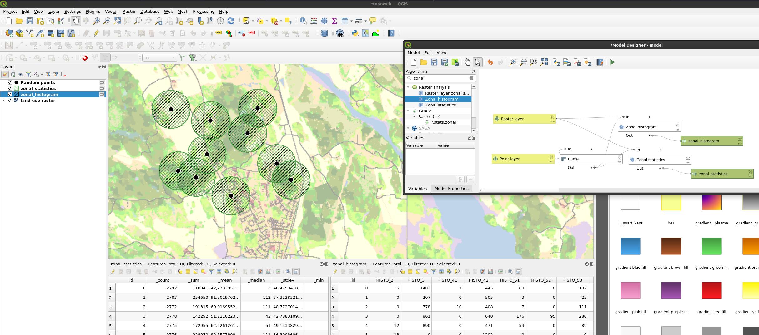
I already could extract the raster values in each point but each point represents an antenna and so I need to extract the raster values around each point, for example, the majority of color in a given radius.
Can I do this with different radius around each point, with this radius also uploaded in the .csv file and extract the values of the majority color around each point also to a .csv? If not what is the best I can do ?
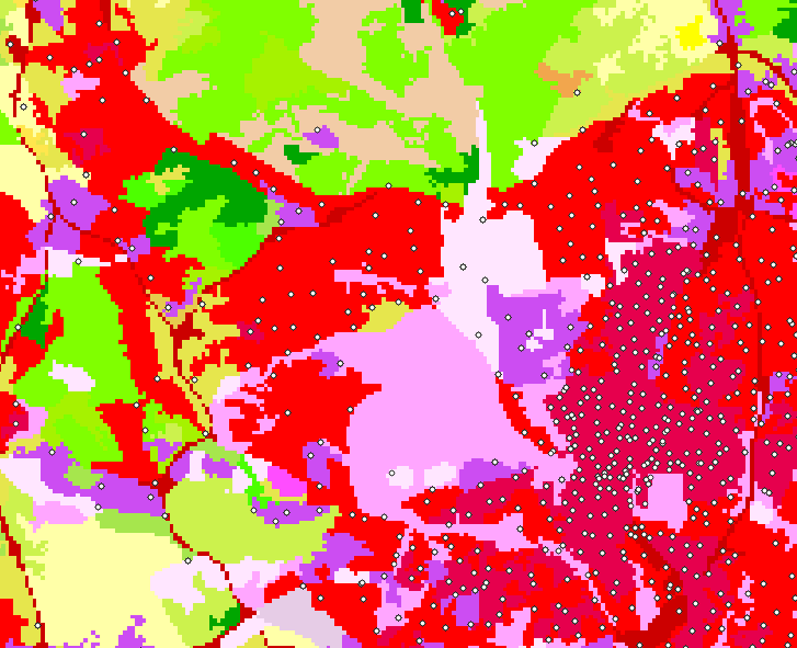
This is how the map looks like .


