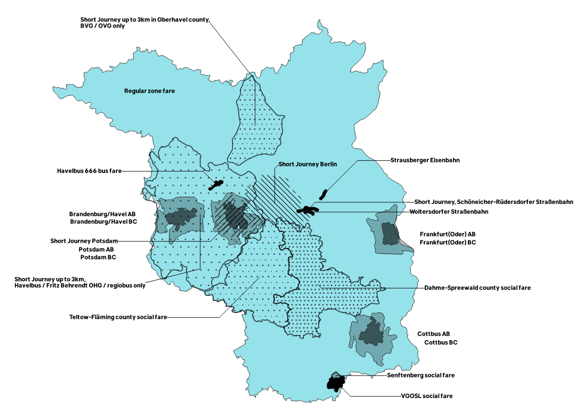
I work on a map of overlapping public transport fare areas, e.g., Frankfurt(Oder) AB/BC, which imply different fares for using the bus.
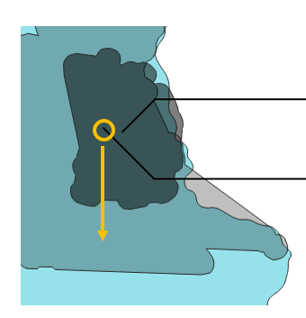
By utilising the Plugin Easy Custom Labeling I was able to create guiding lines between my custom labels and the features. However, some of the 'end points' of the lines (i.e., those inside the polygons) jeopardise the readability of the map. Each line ends at a feature's centroid (I guess), thereby causing confusion. Look at the image below, where it is unclear which area is labelled AB or BC, respectively:
Is it possible to manually move the end point of each line? I imagine it like this:

The question seems to be related to these:
I've fiddled around with the geometry generator, but I haven't found a solution.
I've already considered to derive a point layer that determines end points where they need to differ from centroids. Since the data are stored in a PostGIS environment, however, that might be a little unhandy to update when adapting to minor changes. We're talking about two maps of ~20 polygons each, for example:


