1

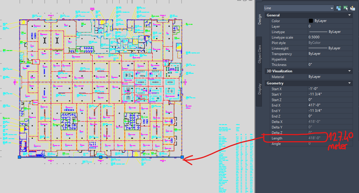
I have many DXF files. And these are architectural drawings. In QGIS, I want to place buildings in their real locations on earth, and I am preparing a plugin for this. But when I export the DXF data to QGIS, the lines do not come to their original size. The example is shown below.

DXF data does not contain any coordinate data. From time to time, DXF data can be scaled or in a downscaled/upscaled form. At this stage, all I want is to import the building lines in their original dimensions into QGIS.

enter image description here

enter image description here

4
  • Try hitting the 'Cartesian' radio button on the measurement tool. Also maybe try using the 'Identify' tool on the geometry, to report on the 'Length (Cartsian - 2d) attribute value.
    – nr_aus
    Commented Oct 31, 2022 at 5:33
  • The Cartesian button shows the same almost same result. I tried your answers but nothing changed. Thank you. @nr_aus
    – Vecihi
    Commented Nov 2, 2022 at 5:34
  • Please upload a DXF with (sample) data Commented Nov 2, 2022 at 9:35
  • You can reach the sample data from this link. drive.google.com/drive/folders/…
    – Vecihi
    Commented Nov 2, 2022 at 11:03

1 Answer 1

3

The "numbers" in the DXF are inches. You can define a user defined crs for it in QGIS

+proj=tmerc +lat_0=0 +lon_0=0 +k=1  +x_0=0 +y_0=0 +ellps=GRS80  +towgs84=0,0,0,0,0,0,0 +units=us-in +no_defs

For import I recommend the plugin AnotherDXFImporter.

enter image description here

1
  • Thank you @Mike, its perfect!
    – Vecihi
    Commented Nov 2, 2022 at 20:02

Your Answer

By clicking “Post Your Answer”, you agree to our terms of service and acknowledge you have read our privacy policy.

Not the answer you're looking for? Browse other questions tagged or ask your own question.