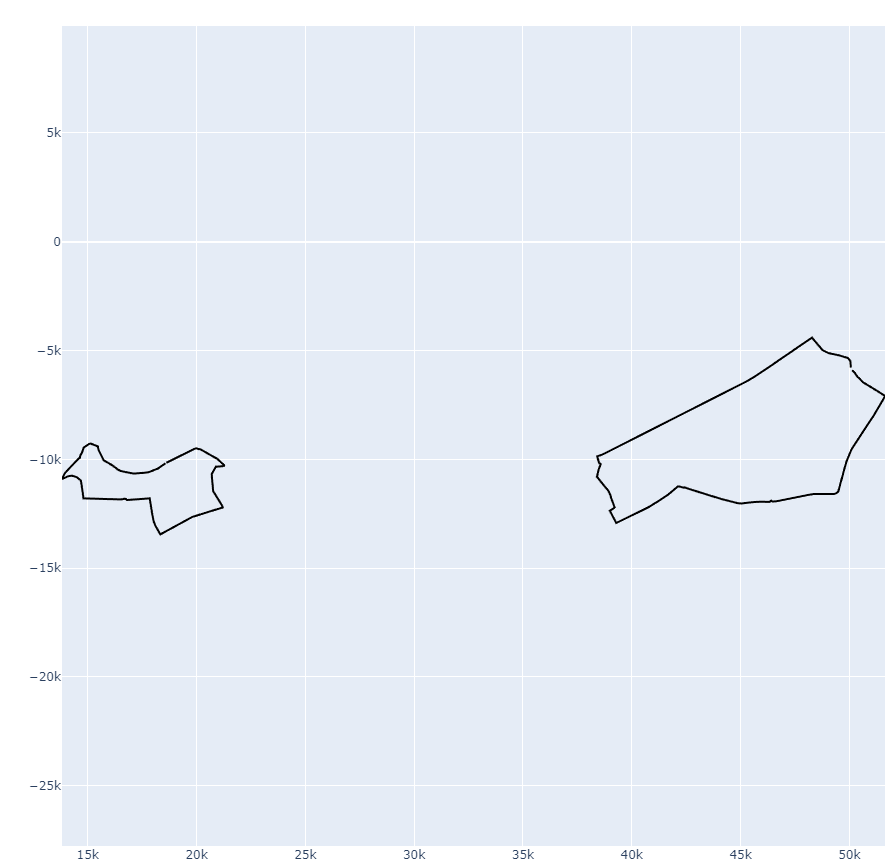
I have a list of neighbourhood polygons in Casablanca, Morocco, which have an unknown CRS. Here is a link to one of the polygons: (link to a json).
I have tried several CRS in QGIS, but none of them seem to match. The origin (0,0) of the polygons appears to be located near Casablanca, which suggests that it might be a custom projection system used to render a map in some web app.

I have also tried to find a transformation system using 3 points that I can pinpoint on the map (I identified these points from the shape of the polygons). However, I am not sure how to use them.
mapX,mapY,sourceX,sourceY,enable,dX,dY,residual
-7.66019156489551012,33.60254389161183752,13818.32712767139673815,-10907.70249749449430965,1,-0.00005545246380123,-0.00002593604340717,0.00006121808629192

-7.65505437867152239,33.59849756468478432,14799.86116917156505224,-11801.17367171987825714,1,0.00005835360482909,0.000031161882319,0.00006615289945431

-7.55462555909517963,33.57873525323550723,33560.92118483640660997,-16235.50596761874476215,1,-0.00000290114103052,-0.00000522583923868,0.00000597712431086
Can anyone suggest a method or tool to properly georeference these polygons?

Layer > Georeferencer > File > Open Vector.