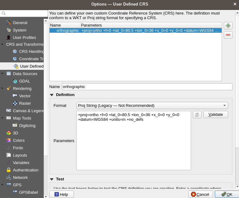
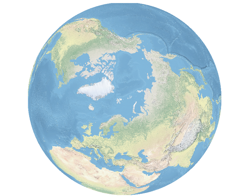
I'm trying to change the CRS of a Natural Earth raster file (NE2_HR_LC_SR_W_DR.tif) to an orthographic projection centered near the North pole. Here's the proj string I used:
+proj=ortho +lat_0=80.5 +lon_0=36
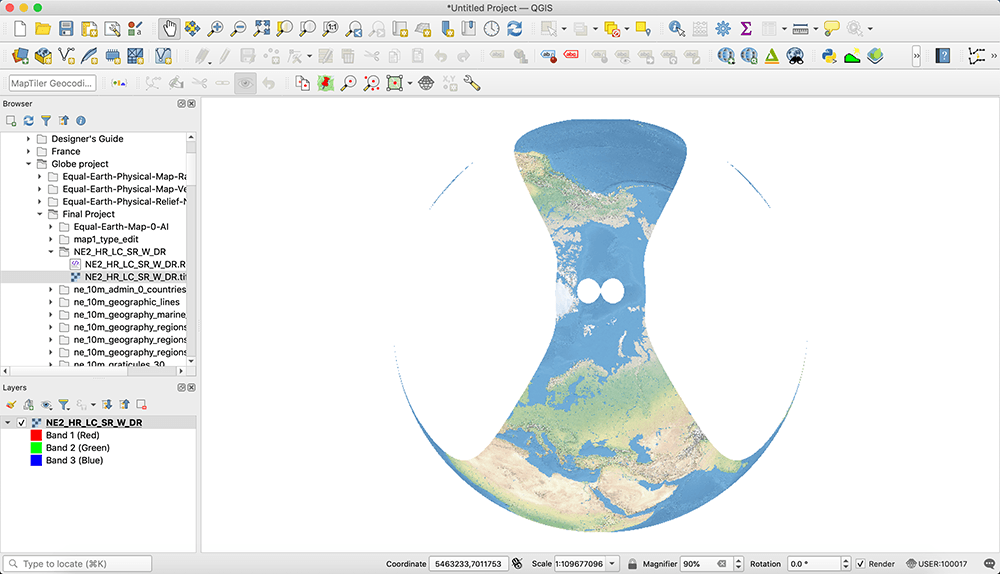
But I get this weird result:
Any ideas on how to fix this?


