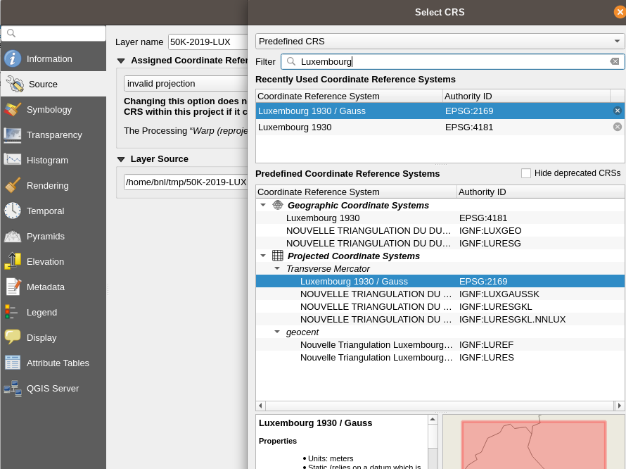
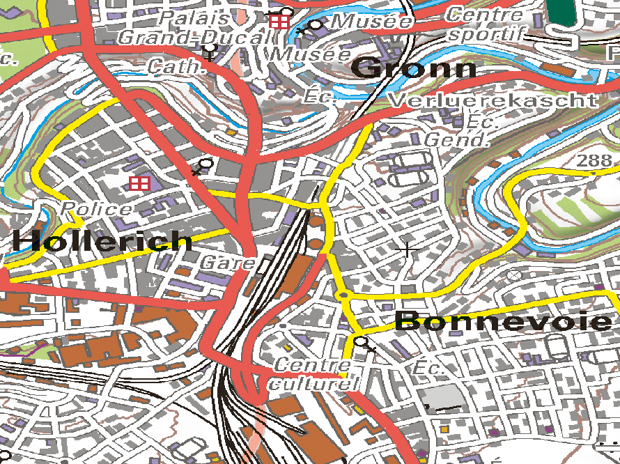
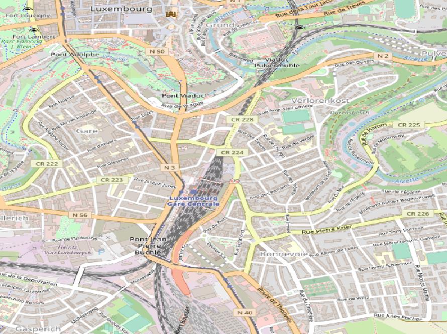
I am trying to load the topographical map from Luxembourg into QGIS.
The .tif and .tfw were downloaded from the lu cadastre. But when importing into QGIS it does not recognize a correct projection.
I tried to convert the file and told it to use a projection. But that is not working.
How can I import the imagery into QGIS with a correct projection?


