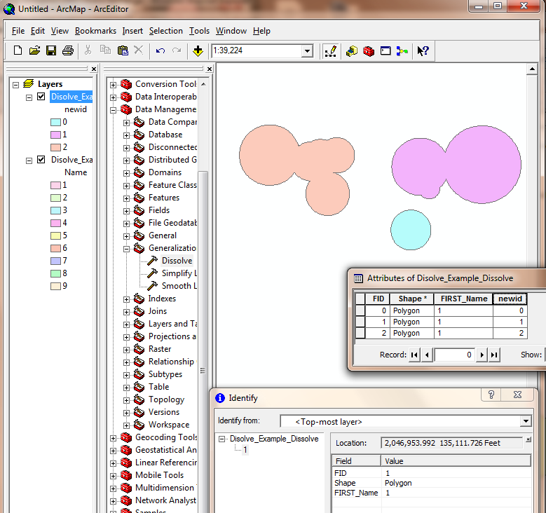
I have a query regarding the dissolving of polygon features in ArcGIS 9.3. I only have the bare-bones license and an extremely basic knowledge of VB.
I have a large shapefile with around 4500 polygons and I want to know if there is anyway of dissolving the ones that overlap. I basically want to turn this layer into a shapefile that contains separate areas, so where one polygon is on its own it will remain, but where multiple polygons overlap, they dissolve into 1, with each separate area having its own set of attributes. The shapefile changes quite frequently, and up until now, I have been going through them all and manually dissolving overlapping areas using the editor tool; but I'm sure there's a much quicker way of doing it!
Any insight into how this might be achieved?
I've had a go using the dissolve tool and joining the exported attribute table, and this works perfectly! I thought the dissolve tool only worked on attributes and not spatial location, so that's extremely useful to know. Also the ModelBuilder code is


