You can find what you looking for in:
http://www.gadm.org/
Regards
EDIT
The GADM data is available here, you can choose the country and download format required.
Available File Formats are:
A "shapefile" consist of at least three actual files. This is a commonly used format that can be directly used in Arc-anything, DIVA-GIS, and many other programs. Unfortunately, many of the non standard latin (roman / english) characters are lost in the shapefile. Even if you use the shapefile for mapping, you can use the .csv file that comes with the shapefiles, or the attribute data in the geodatabase for the correct attributes (the geodatabase is a MS Access database that (on windows) can be accessed via ODBC).
An "ESRI personal geodatabase" is a MS Access file that can be opened in ArcGIS (version 10). One of its advantages, compared to a shapefile, is that it can store non-latin characters (e.g. Cyrillic and Chinese characters). You can also query the (attribute) data in Access or via ODBC.
An "ESRI file geodatabase" can be opened in ArcGIS (version 10). It can also store non-latin characters (e.g. Cyrillic and Chinese characters).
A "Google Earth .kmz" file can be opened in Google Earth.
A "RData" file can be used in R (with the sp package loaded). See the CRAN spatial task view

 .
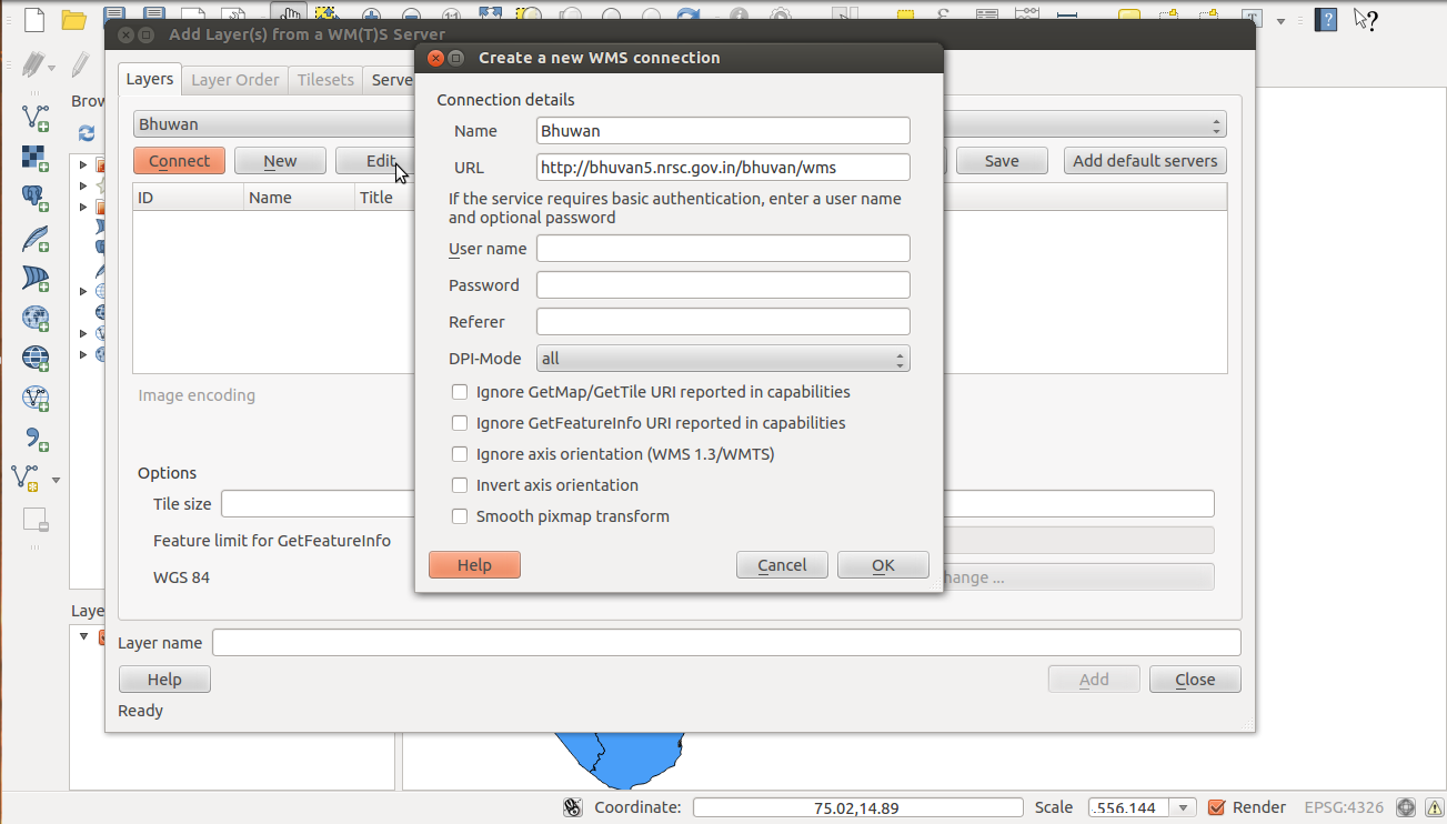
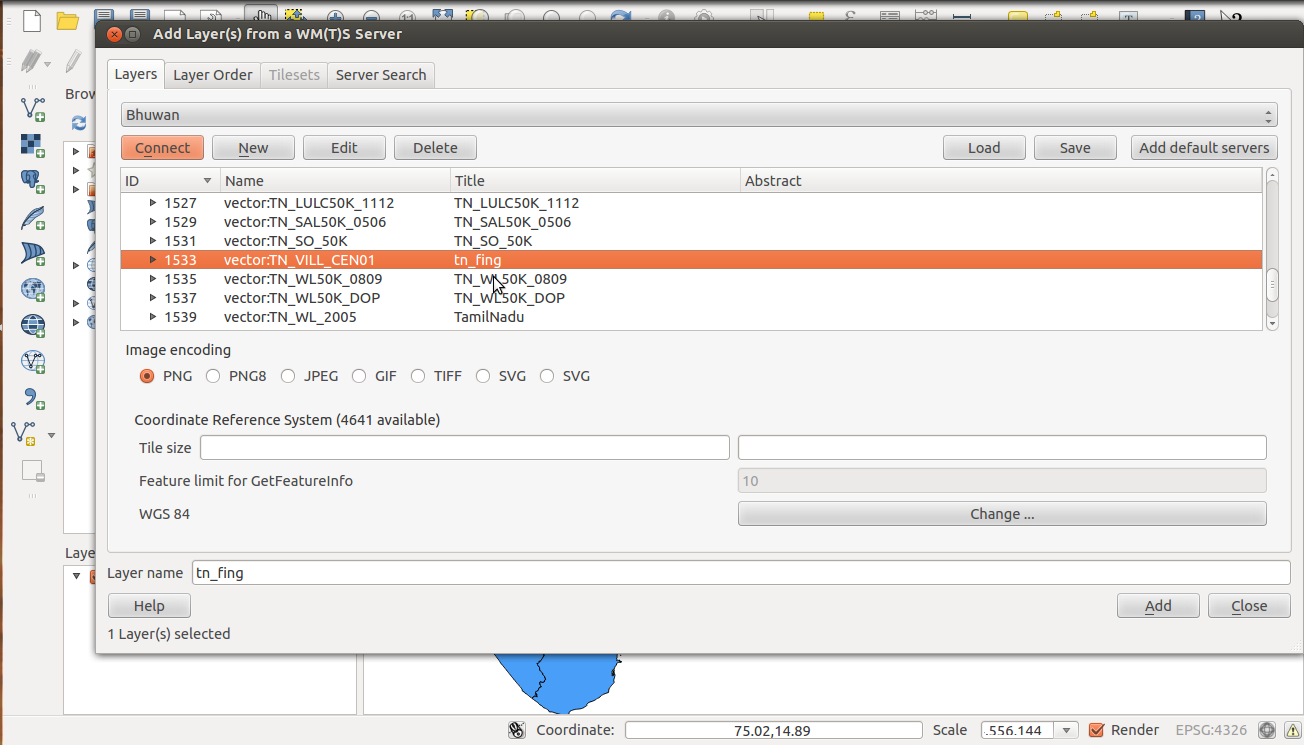
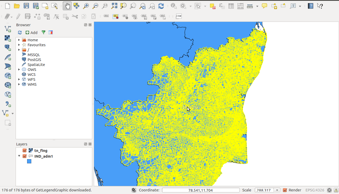
. , then click add to get the WMS of Tamil Nadu village boundary.