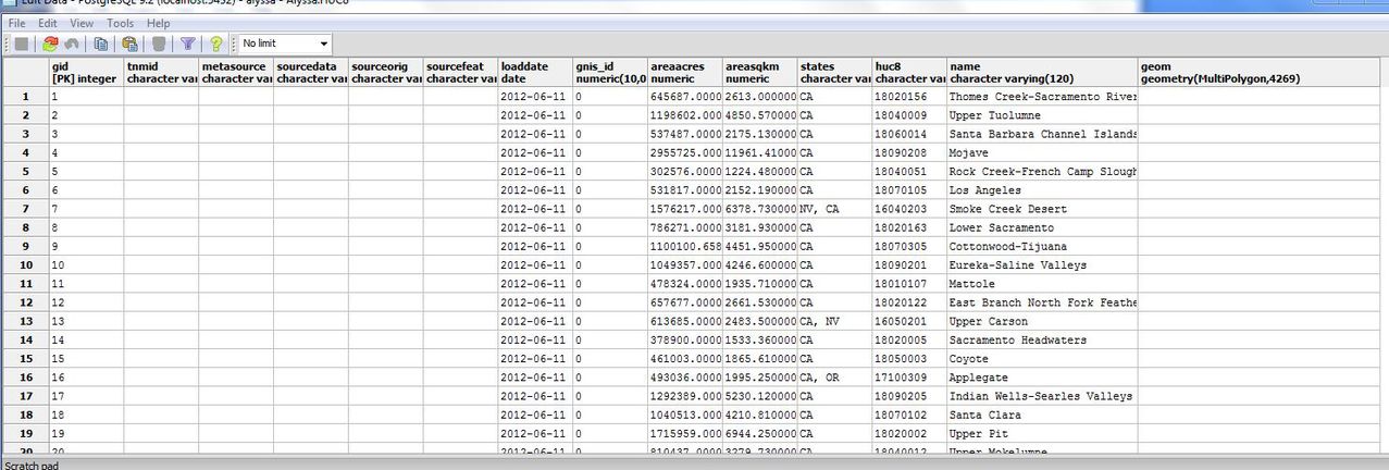
I'm trying to write a command to see whether a given point lies within a multipolygon boundary (in this case, a watershed). I have a table of watershed boundaries and another table with the point I'm going to use to see which watershed the point lies in.
Would st_intersects be the correct command to run? (if so, how would I do that?). If not, what would be the best command to use?
I'm new to postgis/postgresql so any help would be greatly appreciated.
Here are what the tables look like:
Table A has point data:

Table H has polygons:

