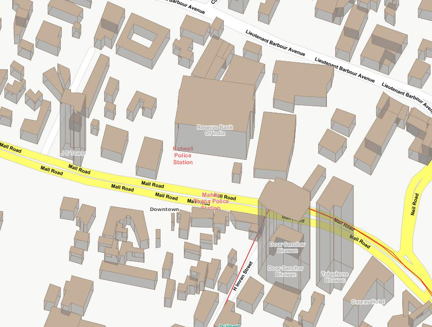
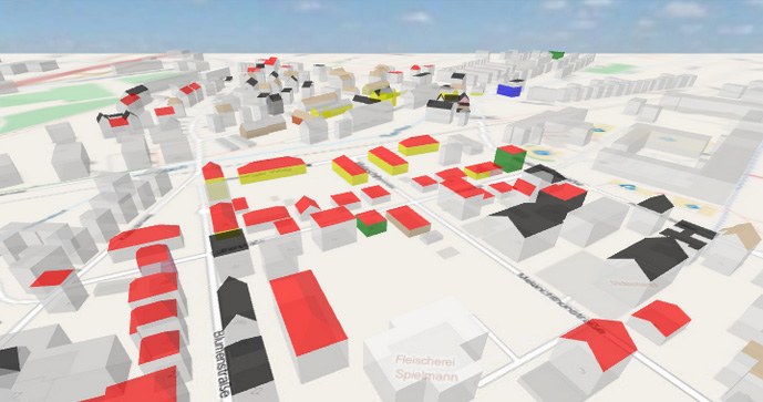
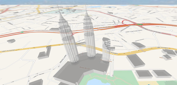
My requirement is shown below by maps.
Map 1--My Map

Map 2--I required


I am using GeoServer v2.2 (for publishing the map) and OpenLayers v2.11 (to display the map). According to my client requirement I published one layer with name "3d Buildings" in GeoServer and given a 3D style.
I added this layer as WMS in OpenLayers.
Now its look like a 2.5D Map(refer "Map 1").
My Questions are;
In Geoserver
Look at the buildings in "Map 1" its showing flat roofs, But I need different shapes of roofs like the buildings in "Map 2".
Or How can I load 3D models to a layer?
In Openlayers(2.11)
How can I rorate/flat map like google earth? Please see the "Map 2" which is in flat view. you can see sky also .In Google API they are using "map.setTilt(45)" to change the map angle. Like this any option is available in openlayers?.
Or How can give Navigation Controls like in google earth?
How Can I load 3D Models on map?
If these features are not available in GeoServer and OpenLayers, can you introduce me to a new tool?
