I'm using QGIS 1.8.0 and as CRS EPSG:6372 a projection for Mexico, defined by the Instituto Nacional de Estadística y Geografía (INEGI). I have the following questions:
- If I measure the minimum distance between points projected with that CRS, what are the units? meters?!
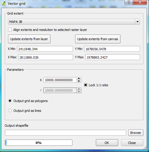
- I'm also doing some Vector Grids with maps projected with that CRS, when QGIS asks for the parameters for the grids (as in the attached image) are the units meters? So from the image I will be dividing the map into 10000 x 10000 m. squares, right?

